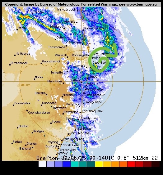
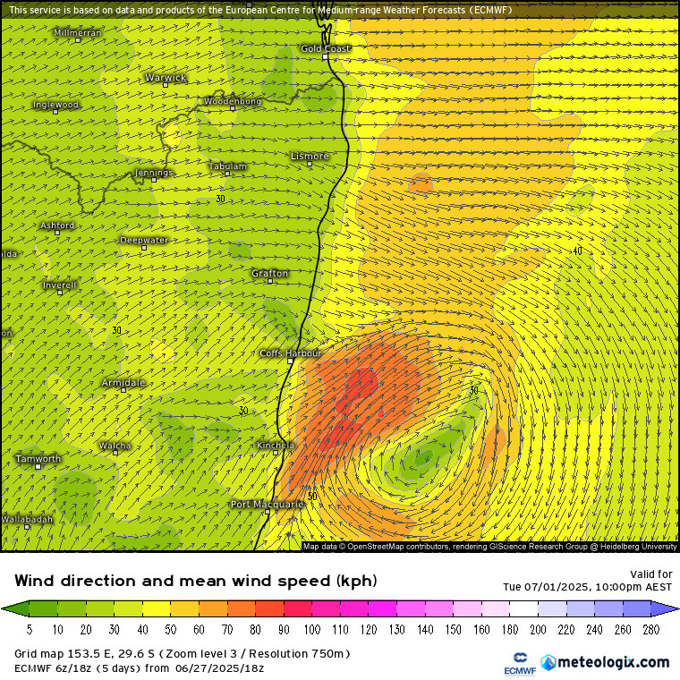
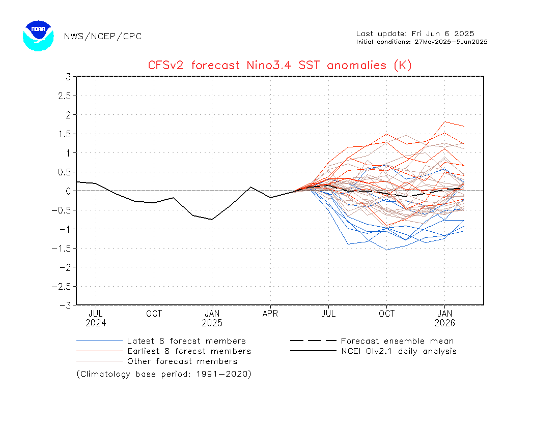
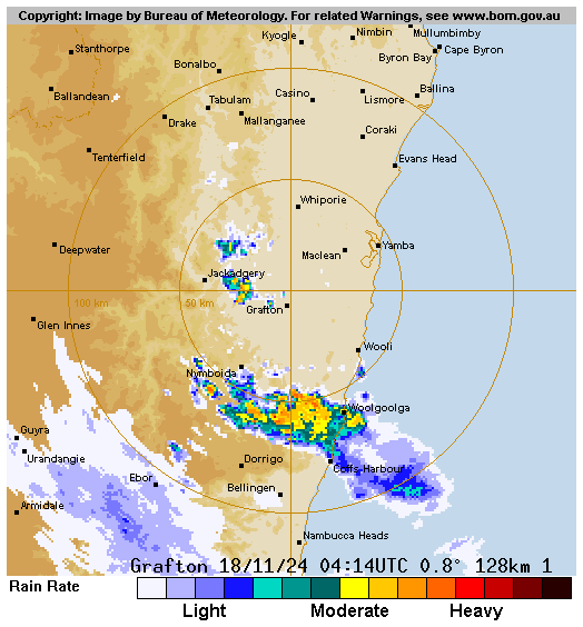
We’ve got a trough moving up the coast today – and you can see it easily on the radar:
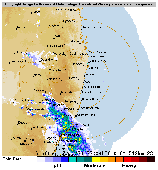
We could see a few showers / storms ahead of the change, and then a spell of wetter weather as it moves through. There’s a heap of moisture to play with and some decent falls are possible – with the highest falls once again likely along the Dividing Range and the Coffs / Dorrigo range, as well as potentially along the coast with any onshore showers after the trough moves through.
EDIT: And sure enough some showers and storms did form ahead of the change – right on the Dorrigo / Coffs range and moving north east away from our region:
We’ll still likely see some falls as the trough moves in. Here’s the 3 day total averaged across all models:
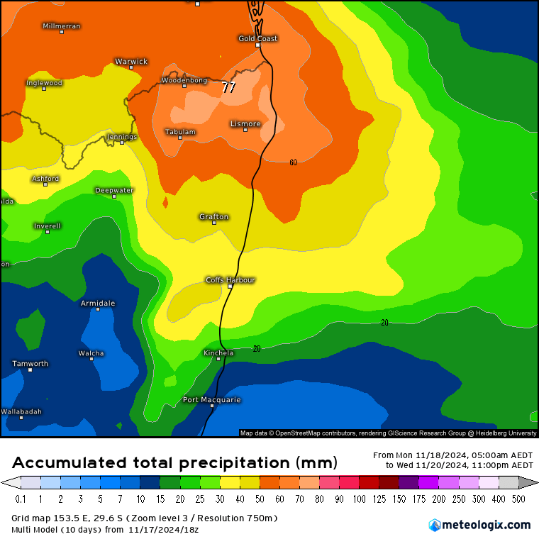
As an average the totals above will blur out the significantly higher / lower spot totals that we’re likely to see over the next couple of days, so don’t be surprised to see some higher local totals in favoured locations – as well as lower totals for some of us (especially in the valleys) to balance it out.
The forecast rain totals also show much higher totals to our north. This is because the trough is forecast to slow down / stop over those regions, resulting in a much longer spell of wet weather.
Part of the reason for the higher temps / higher humidity levels / higher forecast rain totals is the above average ocean temperatures just off our coast. We’ve got the East Australia current looping just offshore, with some significantly above average ocean temperatures as a result:
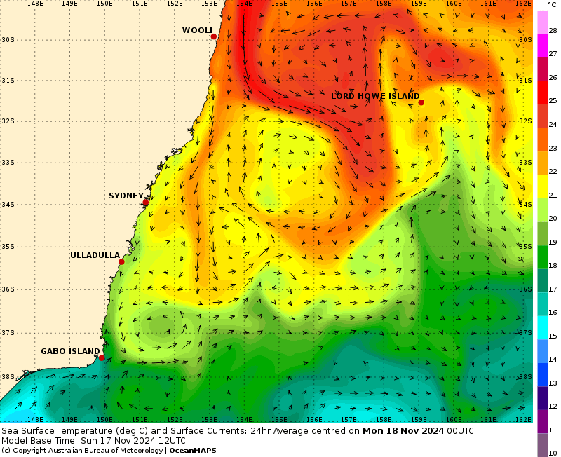
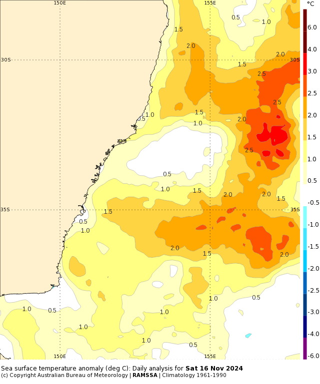
Those warm ocean temperatures are the fuel that powers our summer falls – so when we start looking at ocean temperatures 2c and more above average it’s worth keeping an eye on any triggers that can convert that energy to rain. Looking further ahead and we could see some slightly drier weather next week before wetter conditions return in the weeks to come:
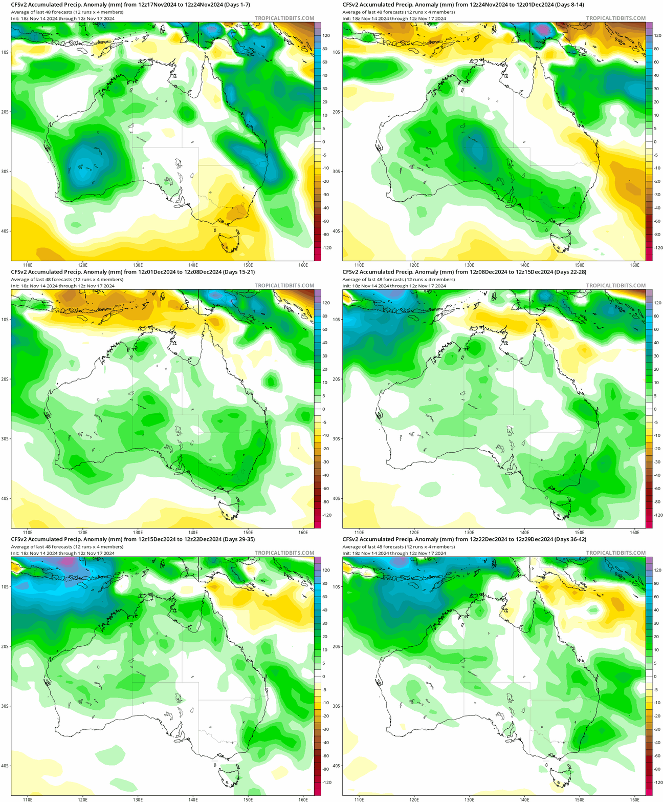
…as as we’re heading into summer that quick drier spell could bring some warmer weather. I’ll post again as more interesting weather looks likely 🙂
Thanks to BoM / Tropical Tidbits / Meteologix for the images

