We’ve got that promised flood of tropical moisture streaming down across inland and eastern Australia right now – and it looks spectacular:
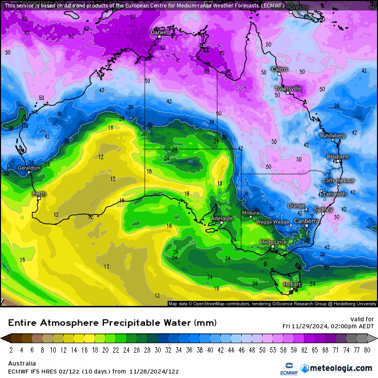
Not often that we see those moisture levels across such a wide area of inland Aus. It’s also giving / going to give some good falls, as rain along a trough and as stand alone storms. Just to add to the mix we’ve got a pool of cold upper air swinging up across SA:
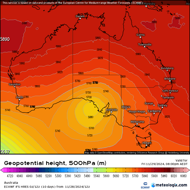
…so expect wet weather across many areas over coming days, with severe storms possible (more likely inland and to our south). Total rain forecasts over the coming 7 days look like this:
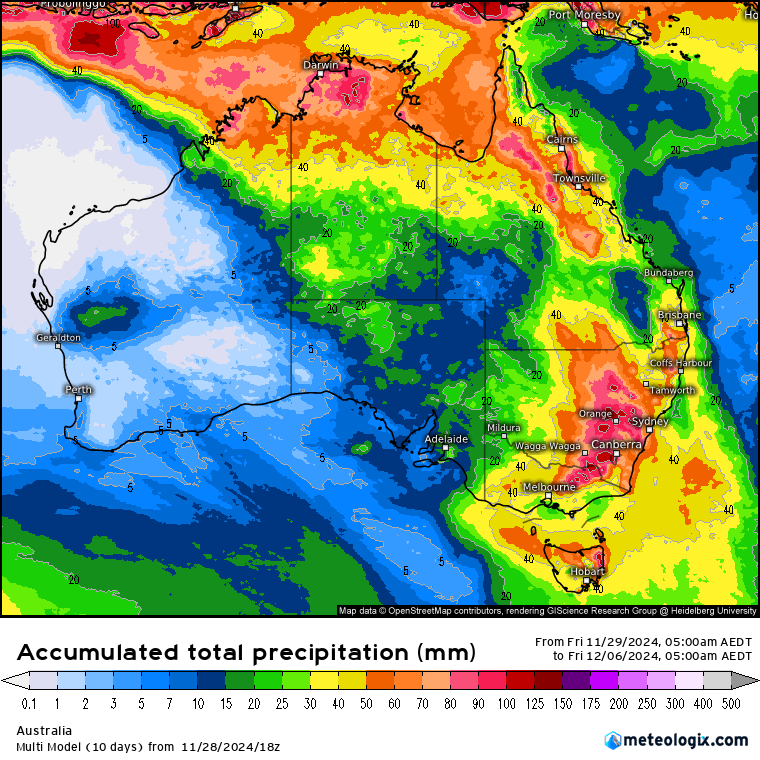
…but as is the way with storms some areas will see considerably less, while others will offer much higher totals. The latest run of the BoM high resolution model only covers until late tomorrow, but indicates the potential for some dumping totals across some areas. For us the focus will be the hills and headwaters, with lower totals likely closer to the coast. Here’s how the totals through late tomorrow are looking:
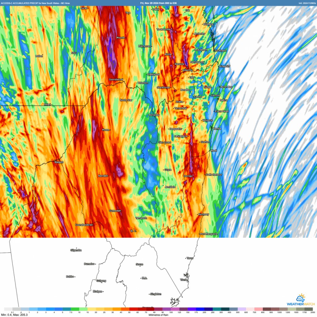
You can clearly see how this one will likely play out – some locations will catch a train of showers and storms and see significant accumulating totals, while other locations could miss out.
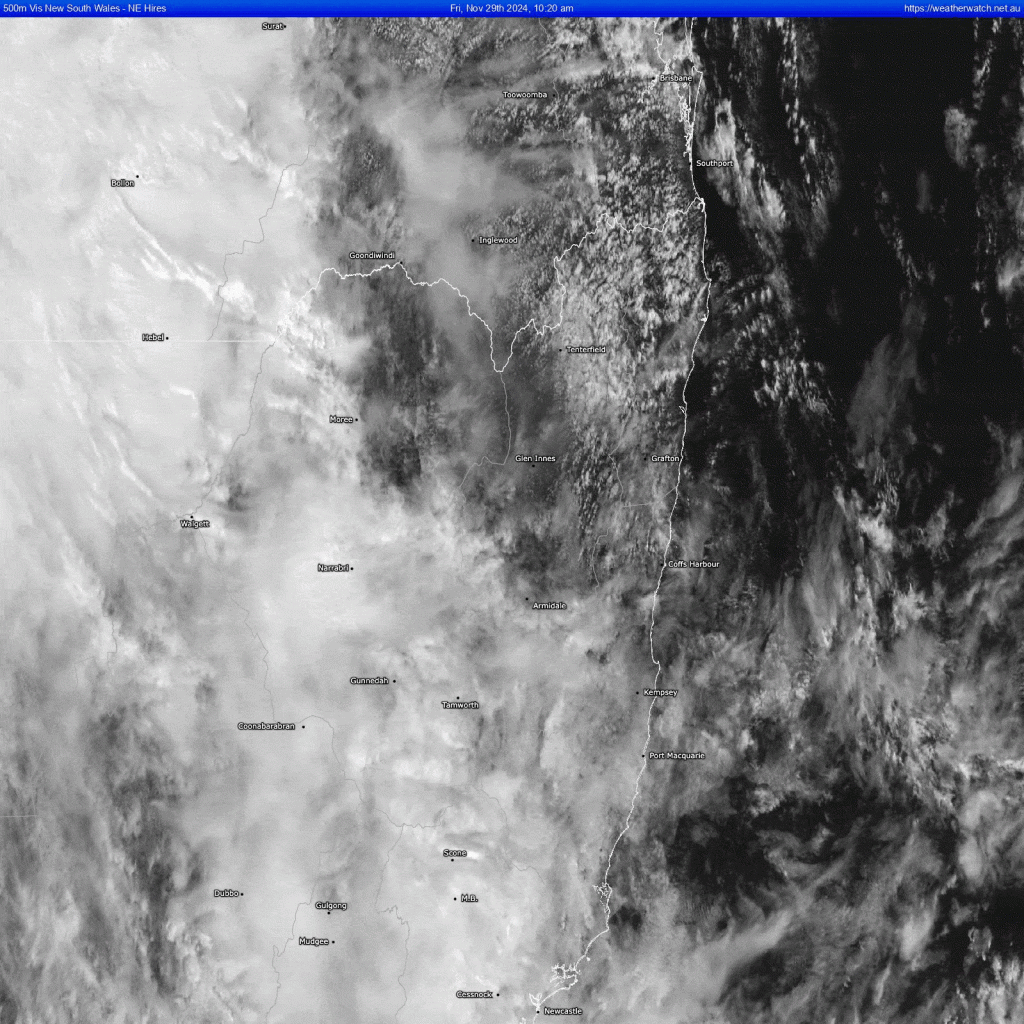
Worth checking the current satellite animation – you can see a trough inland (that will slowly move east) as well as the onshore winds pushing lower level cloud onto the coast and through the valleys:
Looking ahead and it looks like we’ll see more showers / storms through Sunday before a drying (and warming) trend kicks in through next week. Oceans off our coast are still warming rapidly, and 27C ocean temps will start rolling down the East Australia Current in a week or so – summer is here:
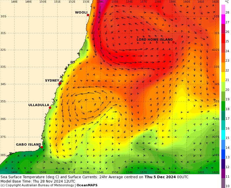
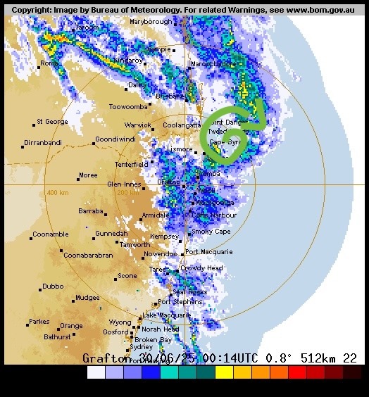
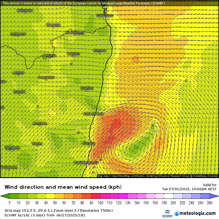
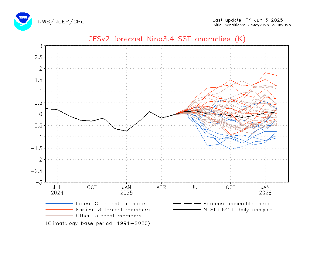
Love that massive circulation off our coast – spectacular to see! Looking further ahead and it looks like the SAM will turn negative over the coming week – increasing the risk of drier / hotter weather in the short term…will keep an eye on that to see if the SAM overpowers the impact of the Pacific…but regardless the longer term outlook is still for wetter weather through summer. The latest BoM outlook shows as much, with our summer likely to be significantly wetter than usual:

That’s it for now – more when the monthly outlooks come out in a week or so. In the meantime keep an eye out for dumping showers and storms, and try to keep cool 🙂
Thanks to BoM / Meteologix / WeatherWatch for images.
Thanks to Kombu and Snapfrozen for ongoing suppport 🙂

