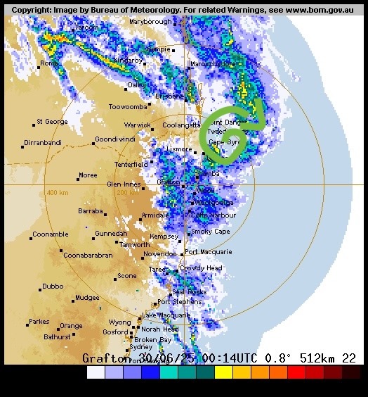
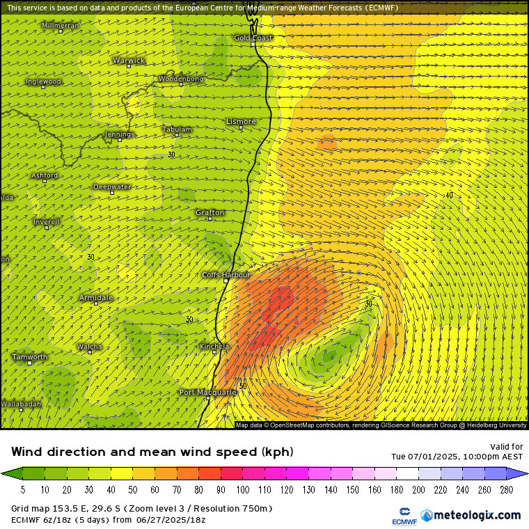
We’ve had some great storms over the last couple of days with cool upper temps and a slack surface pattern. Going forward and we’ve got much colder upper temps incoming, by way of a pool of very cold upper air that is going to slingshot up and across SE Aus:
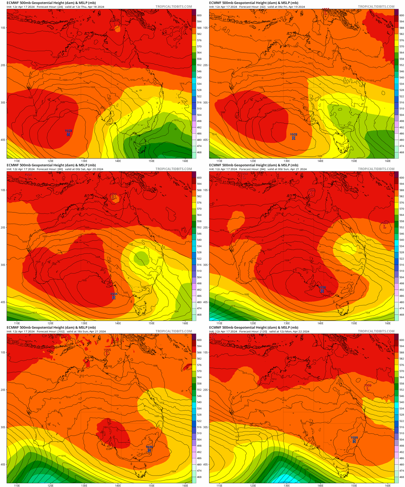
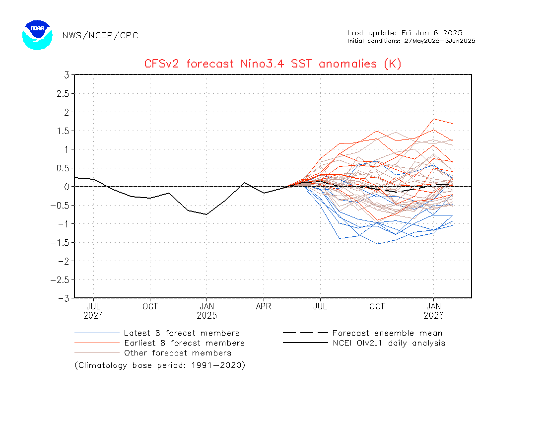
Great to watch in the animation, and will likely look just as good in the satellite images! We’ll have an onshore flow combining with this system which will bring an increase in showers, and perhaps some longer rainy spells, through the course of the latter weekend and into early next week. Ocean temperatures off the NSW coast have cooled a little from the summer peak, but are still sitting above average:
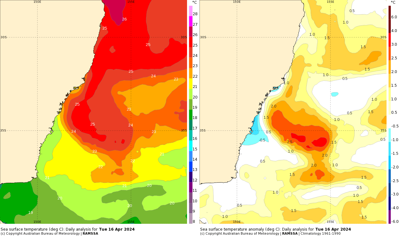
…so winds blowing across that warm ocean will have more energy to play with before arriving onshore and encountering those cold upper temperatures. Not looking like huge totals from this system across our region, but still likely to see some decent totals. Models showing a range of totals for our region:

…and the end result will likely be somewhere in the middle…GFS looks like a bit of an outlier for the moment with more rain showing for later next week, but most other models sitting between 40mm and 80mm across our region. The totals across the models average out at these totals over the coming days:
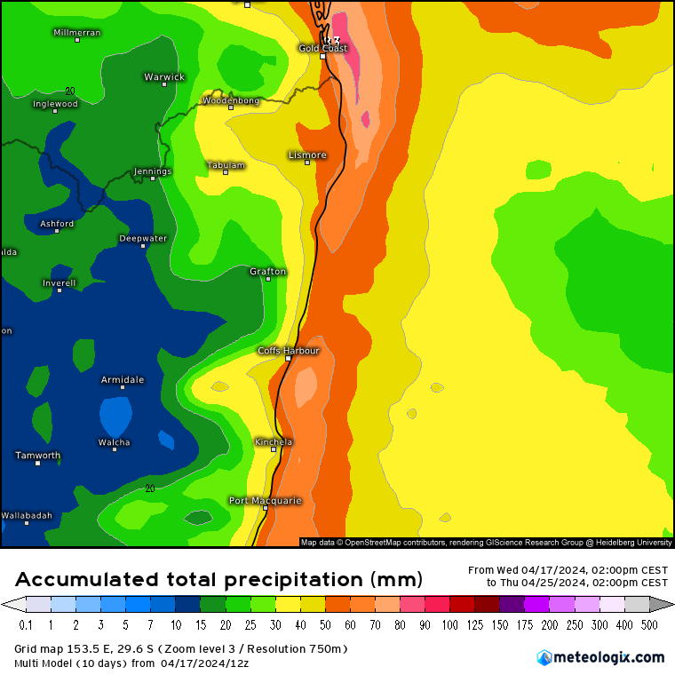
There will be some decent instability out there, so higher totals are possible. Highest totals likely late weekend into early next week. Worth keeping an eye on the radar and potential warnings over the weekend – the ground is fairly wet out there so it won’t take much for rivers to rise.
That’s it for now. Thanks to Meteologix / Bellingen Weather / Tropical Tidbits / BoM for images and animations. Thanks to Kombu Wholefoods and Snapfrozen for sponsoring and supporting this site 🙂

