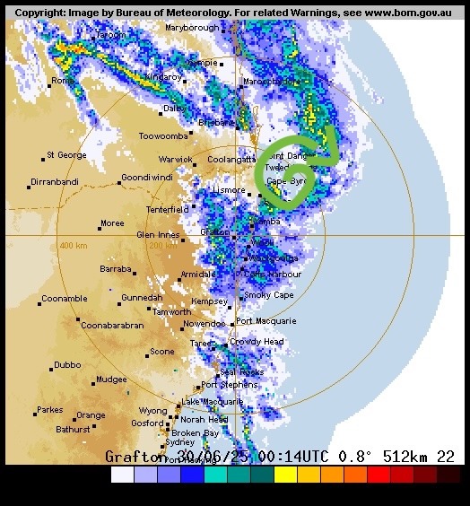
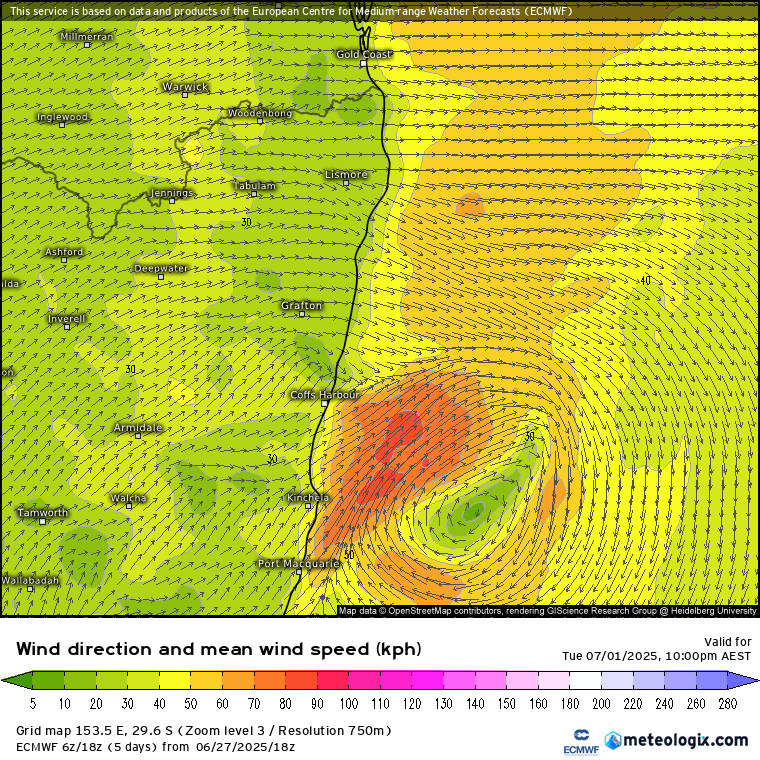
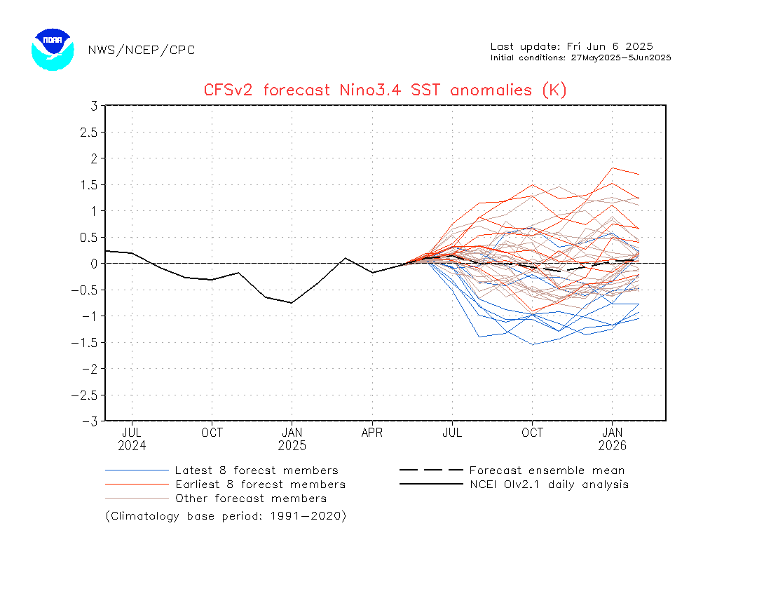
After some beautiful sunshine we have onshore winds and cooling upper temperatures incoming…and with warm ocean temperatures that can only mean showers at this time of year.
You can see the cooling upper temperatures in yellow and green on this animation over the next week:
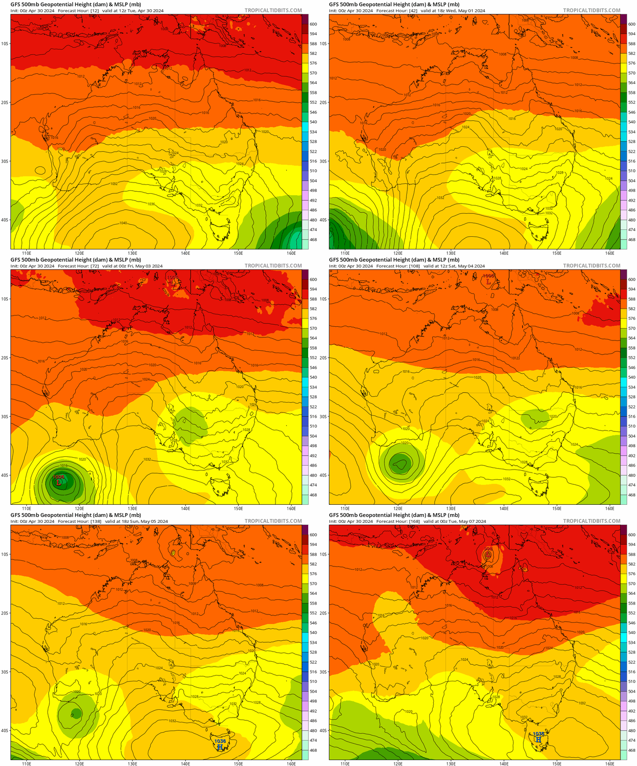
You can see the cold pool developing to our west and then moving closer over time….and when we look at the accumulating rain totals over that period we can see the coastal showers building:
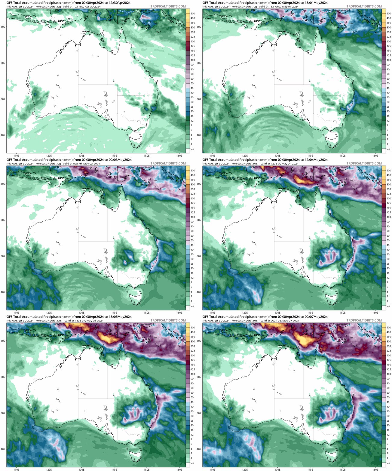
Looking at the totals above and you can also see inland storms building closer to the inland upper cold pool. With the duration of this onshore flow models are showing some decent accumulating totals over the coming week – here’s the forecast from four of the top models:
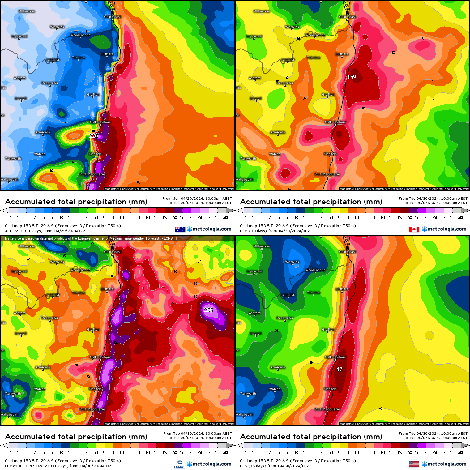
We’ll possibly see some decent accumulations in the usual places, with a focus on and around the coast and hills. Exactly how much we see depends on (1) the exact movement & strength of that cold upper air and (2) if any coastal troughing / coastal low develops. Worth keeping one eye on this site / BoM over the weekend. I’ll also post again if significantly higher totals look likely.
A chance you’ll need gumboots for the Bello Show this weekend, but don’t let that distract from a fantastic event. Bellingen Weather will be speaking there from 9.30am to 10am on Sunday, looking at seasonal outlooks, ocean temperatures, upcoming local weather and the ins and outs of the Bellingen Weather site. Hope you can join us – full itinerary for the day below:

Thanks to Bellingen Show for hosting us this weekend, and to Tropical Tidbits & Meteologix for the images.
Thanks also to Kombu Wholefoods and Snapfrozen for sponsoring this site 🙂

