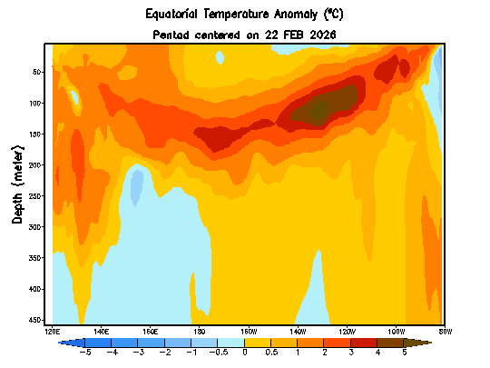
Time for a quick update as we’ve likely got a wetter spell incoming across our region. We’ve currently got a large pool of warmer than average ocean temperatures sitting just offshore:
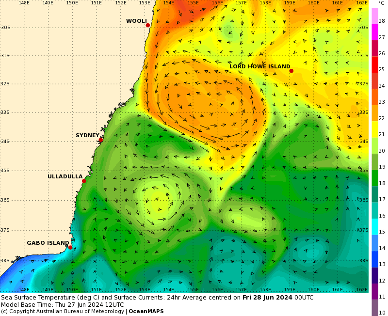
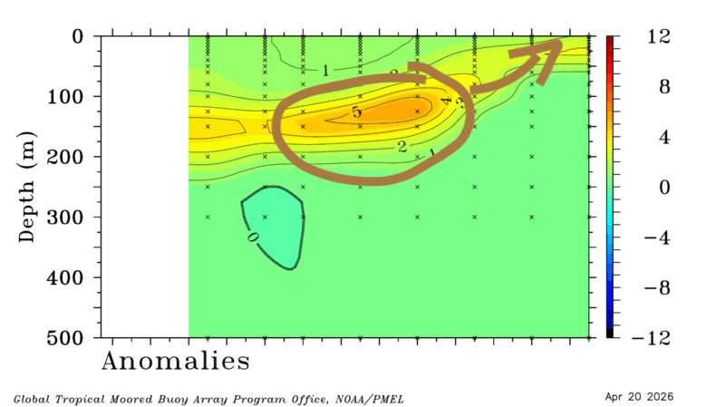
…actually an amazing contrast off the Hunter coast with cooler ocean temperatures from down south hitting up against the East Australia current. Combine those warmer ocean temperatures off our coast with onshore winds and an upper feature passing across (increasing instability) and it looks like we’ll see some rain moving in from higher level clouds from the north west, followed by onshore showers.
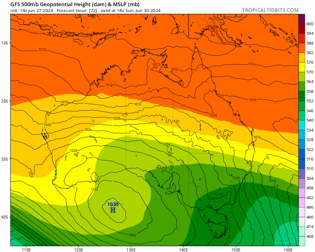
Here’s how the upper feature looks as it moves across NSW from Sunday through the middle of next week:
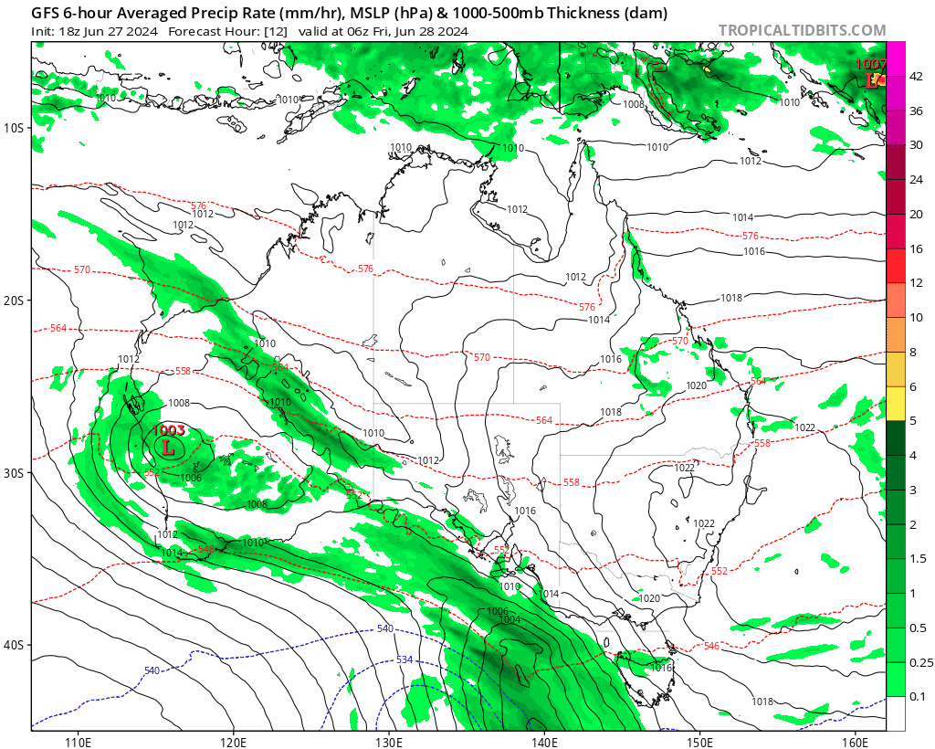
…and here’s how that looks from a rain perspective with rain moving in from the north west (with a focus on and to the west of the range) followed by onshore showers (with a focus on and to the east of the range):
Could be some reasonable totals if you get a train of showers hanging over your location – and likewise some will likely see considerably less. Models not quite sure about totals for now, so an average across a range of models is a decent guide – and that gives us the following totals over the coming week – with most rain falling later in the period:
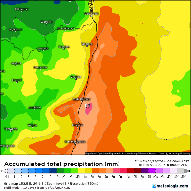
…and here is that current range of forecast totals for Bellingen across a number of models (which highlights why using an average is useful at this lead time):

The chances of seeing the higher totals are unlikely…more likely is just an increase in showers…I’ll post again over the weekend as models settle down with rain totals…and with an update on a potential follow up later next week as a significant pool of upper cold air is forecast to move up across Australia. Way too far out to know how this feature will impact us (or if it will actually develop at all), but if it does develop as forecast then some areas, including the inland, could well see some significantly wetter weather. Right now three of the top models have the following 10 day forecast:
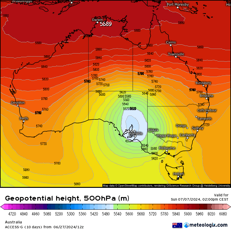
Images thanks to Meteologix / Bellingen Weather / Tropical Tidbits / BoM 🙂
Site hosting, support and sponsorship thanks to Snapfrozen and Kombu Wholefoods 🙂