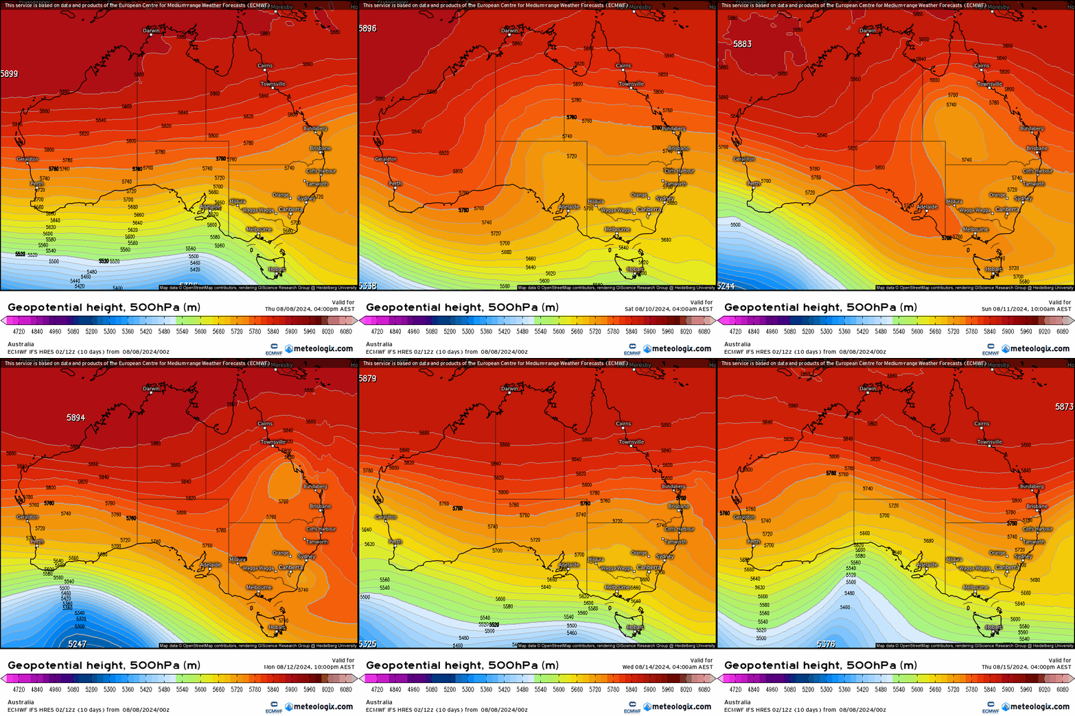
A quick post with an update on the possible / likely rain event through next week. The latest model runs have the upper trough developing and then hanging around (and perhaps even cutting off) for some days:
At the same time we’ve got some warmer ocean temperatures rolling their way down the NSW coast over the coming week:
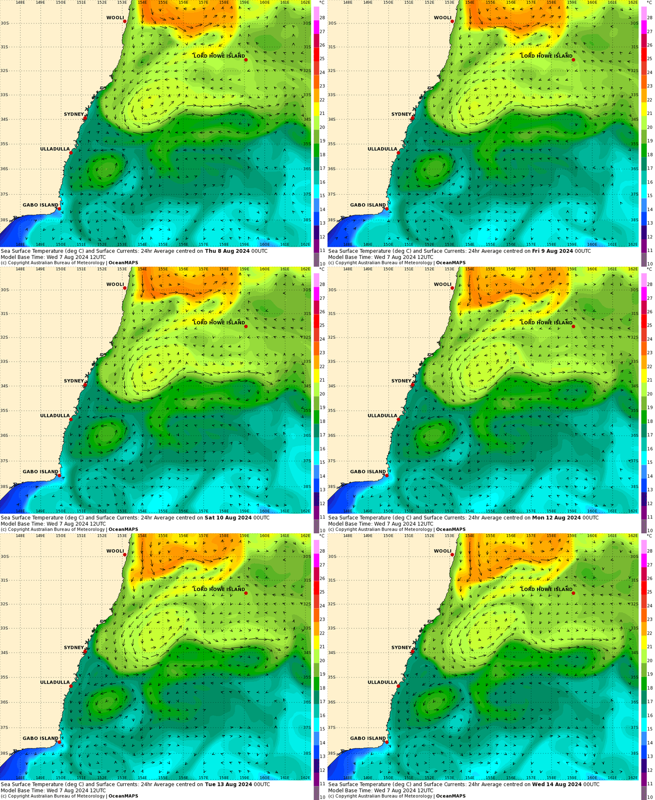
On a side note I love these animations – it’s easy to picture the East Australia current as something simple that flows down the coast, but it reality it offers the same whirls, swirls and cut offs as we see elsewhere in the weather (and in nature). Right now it just looks like it will line up to sweep some warmer water down the coast just in time for the onshore winds and upper system.
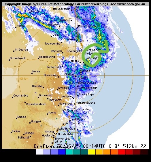
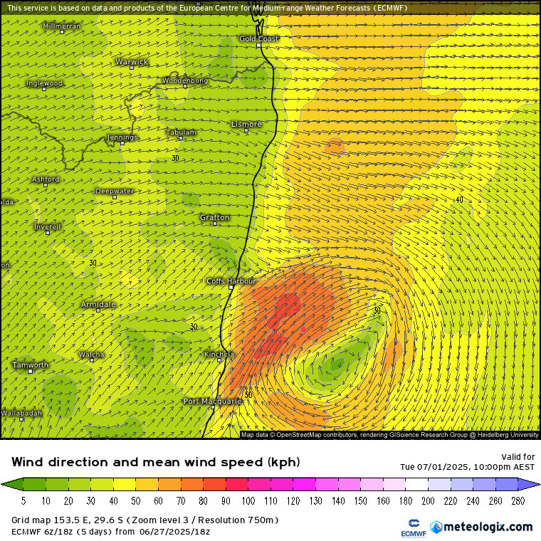
As a result of the upper system moving in the models are starting to increase potential rain totals for our region. It’s worth noting that some models develop an ocean low that moves towards the coast. These things are a nightmare to forecast a few days out, so we’re likely to see some significant ups and downs in totals over coming days…but with models starting to show some wetter possibilities it’s worth being aware that this could end up being a decent wet spell. Current models runs give us the following totals:
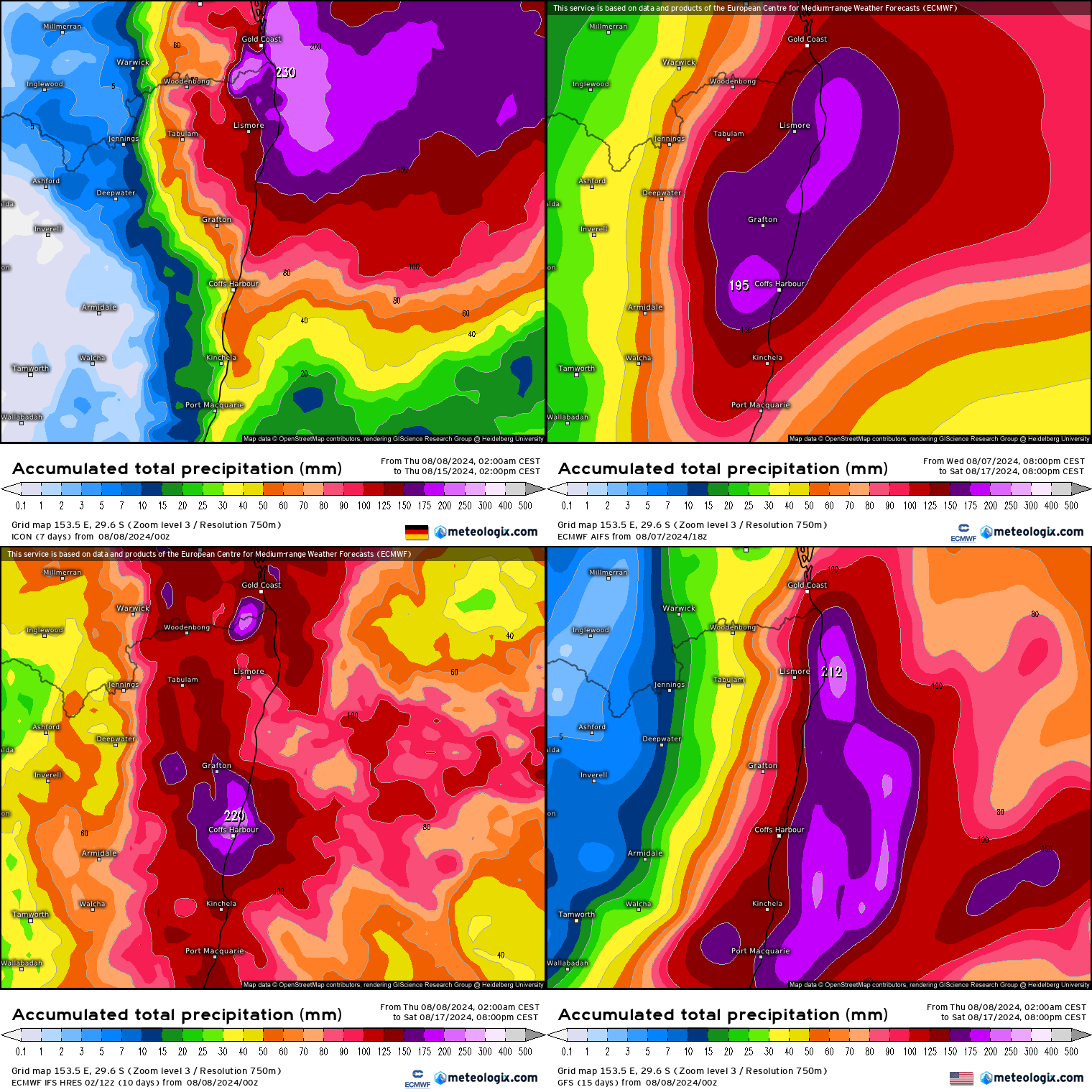
…so it’s one to keep an eye on over the coming days. No certainty that we’ll see big falls in our region, but somewhere will, and there’s a reasonable chance that it won’t be too far from us…August is usually a fairly dry month for us. Our station records only go back a few years, but the highest monthly rainfall recorded has been 27mm. A good chance we’ll beat that this month:

Updates later in the weekend!
Thanks to Meteologix and BoM for images, and to Snapfrozen and Kombu for supporting this site 🙂

