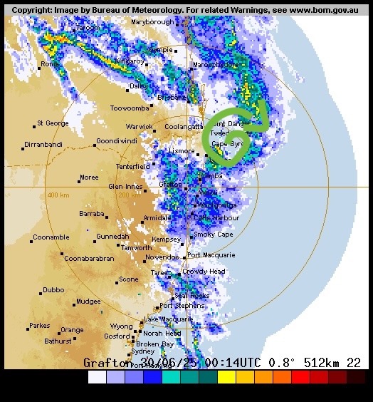
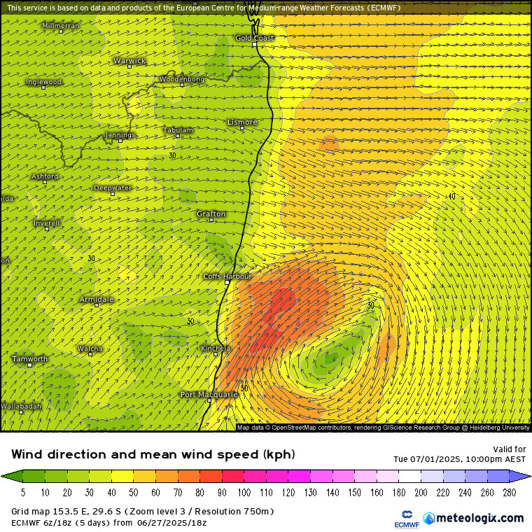
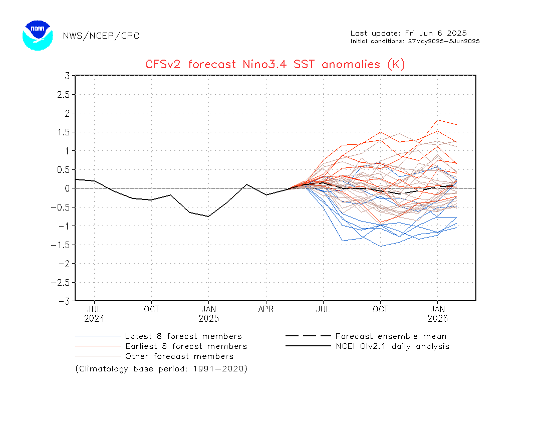
That was a wet few days across our region. Interestingly most of the rain came from a stalled front that sat across our area and gave us much higher totals than some other areas north and south. The 5 day rain total (derived from the radar) for our region looks like this:
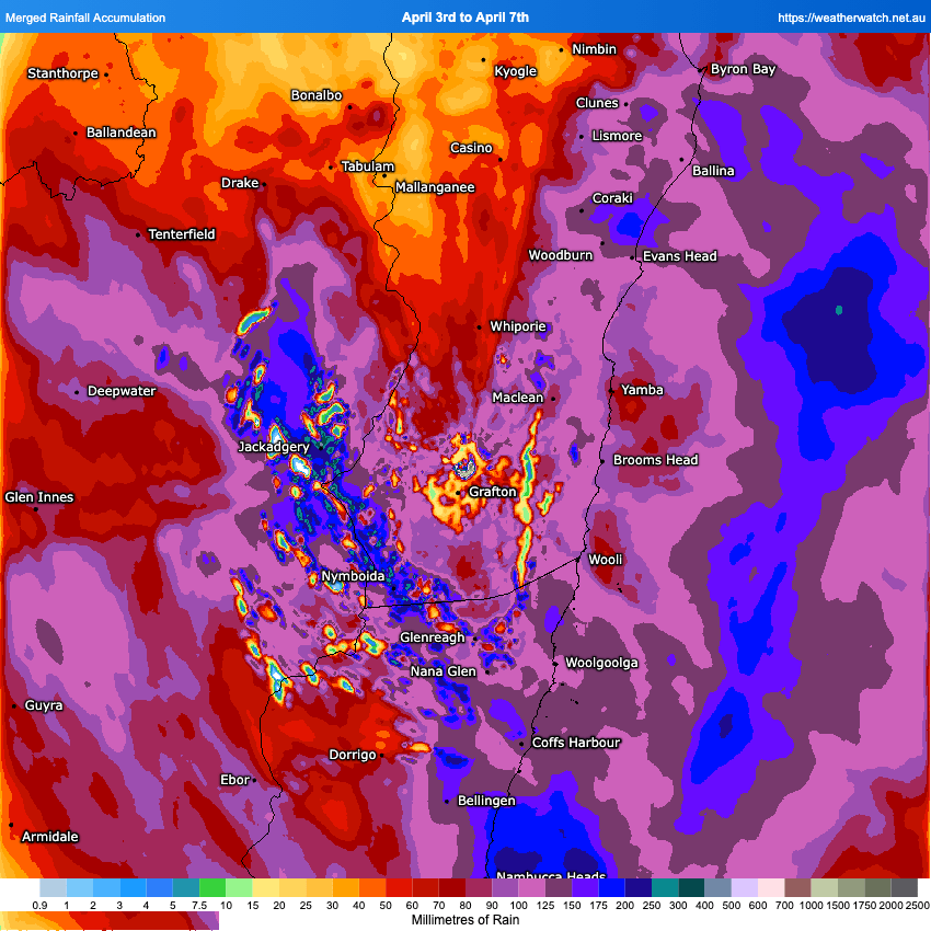
Some decent totals out there but not enough to cause any real flooding issues. Much higher totals (as forecast) across the Sydney basin, with a real focus in the west…hence the flood warnings in those locations:
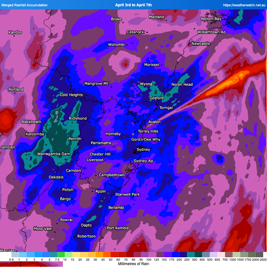
There isn’t that much more rain forecast over the coming week, with just a few showers from time time…in fact we’ll see some lovely Autumn weather at times through the week.
Looking even further ahead and we can see the first stage of the significant change in Pacific patterns, with much cooler temps surfacing close to the Central American coast:
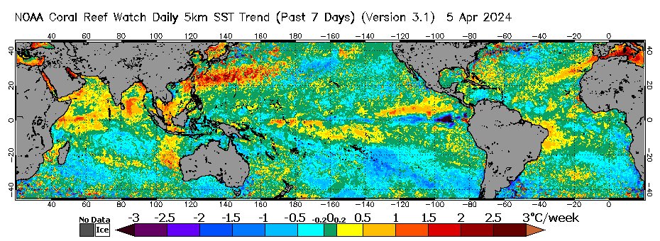
Worth noting that the chart above shows changes over the last 7 days, not actual temperatures. One thing that is also worth noting however is the significant westerly wind burst now forecast across the central Pacific from 11th through at least 21st April – you can see it showing as the red area on the chart below:
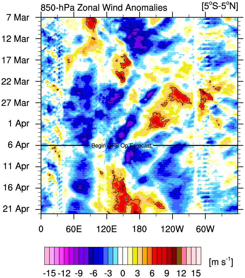
These westerly wind bursts (WWBs) usually encourage development of El Niños – not La Niñas…The Pacific is currently moving fairly happily towards a more La Niña state…and it may be that the pattern is so well established that the WWB won’t have that much impact…but there is a chance that this burst may well either weaken the forecast La Niña, or interfere with it’s development to such a degree that we’ll end up with neutral conditions.
This is a hard time of year to forecast developments as small changes right now (such as this WWB if it comes off) can have big outcomes in the coming months…so going to be interesting to see how the models (and the Pacific itself) deals with the results of this wind burst over coming weeks. I’ll keep you posted!
Thanks to NOAA / WeatherWatch for the images.
Thanks to Kombu Wholefoods and Snapfrozen for hosting and sponsoring this site 👏

