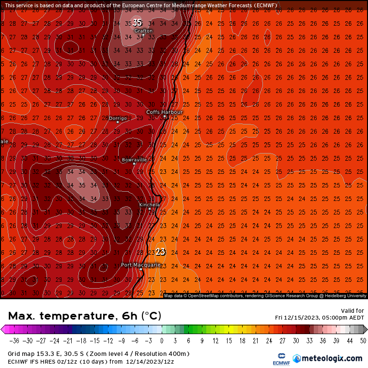
A quick post about some decent heat over the next few days. It’s been dry for a while – and at this time of year that gives our beautiful land a chance to really heat up. Here’s our forecast maximum temperatures for today through next Tuesday, with Market Saturday looking like a real blast of heat:
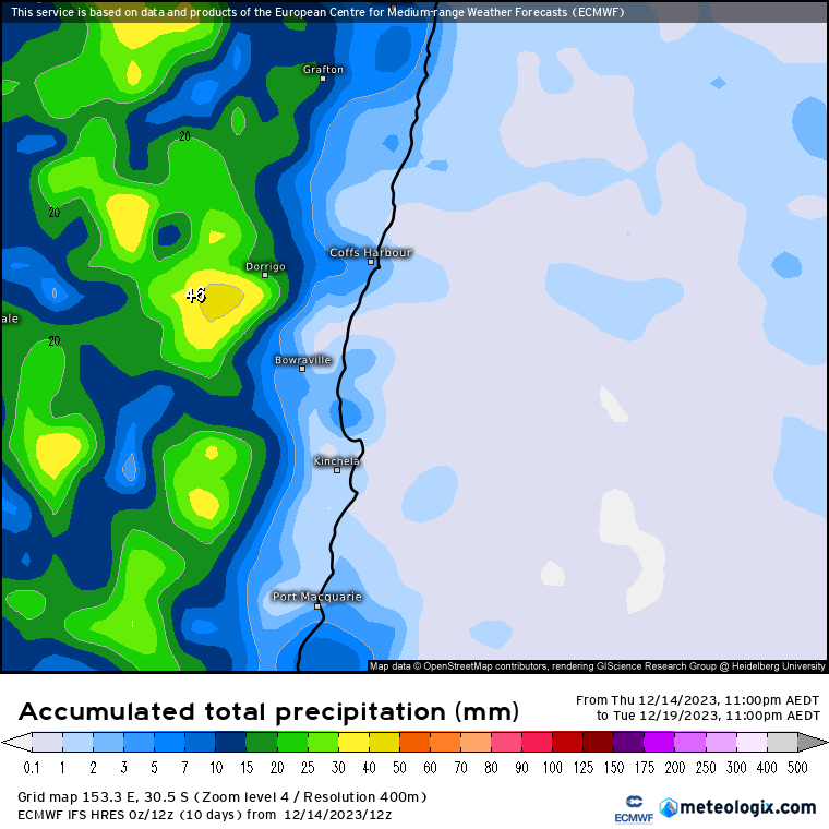
We’ll see scattered showers and storms again at times, with the usual focus over the hills (but some possibly reaching the coast as well):
All that heat will also bring increased fire danger ratings across much of NE NSW, particularly through Saturday. Here’s the forecast FDRs for the coming 5 days – we’re in the North Coast region, but note the risk to the Hunter and Sydney regions in particular:

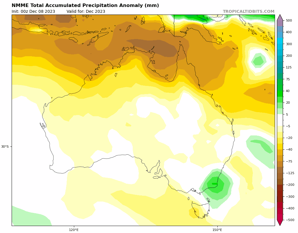
There’s a chance of some wetter weather to follow with winds turning more onshore, but details are still not clear. Looking much further ahead and the latest multi-model ensembles show some signs that we could see a wetter than average January, before a return to more general wetter weather as we head through next winter:
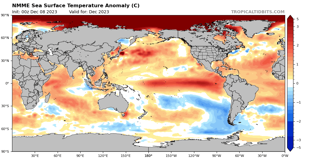
The reason for the possible swing back towards wetter conditions? Some signs that we could see another La Nina develop in the Pacific through winter – check out this amazing forecast swing from El Nino through to La Nina:
That is still some way off…but definitely something to watch. Something else to watch – check how much hotter than normal the Arctic is forecast to be over the coming months…
In the meantime stay as cool as you can, and fingers crossed we have cooler weather to come…
Thanks as always to Kombu Wholefoods and Snapfrozen for sponsorship
Images thanks to Tropical Tidbits, Bellingen Weather, Meteologix