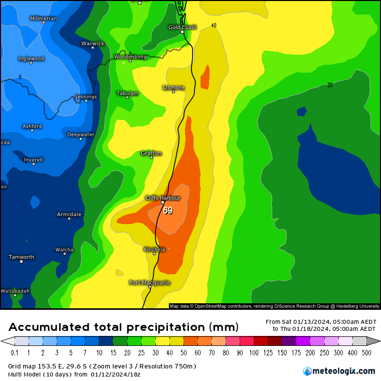
A quick update post…We’ve got the promised showery weather moving in over the next couple of days. We’ll then see showers and storms at times for a few days before it dries up though the middle of next week. Averaged across all models the 5 days rain totals are looking like this:
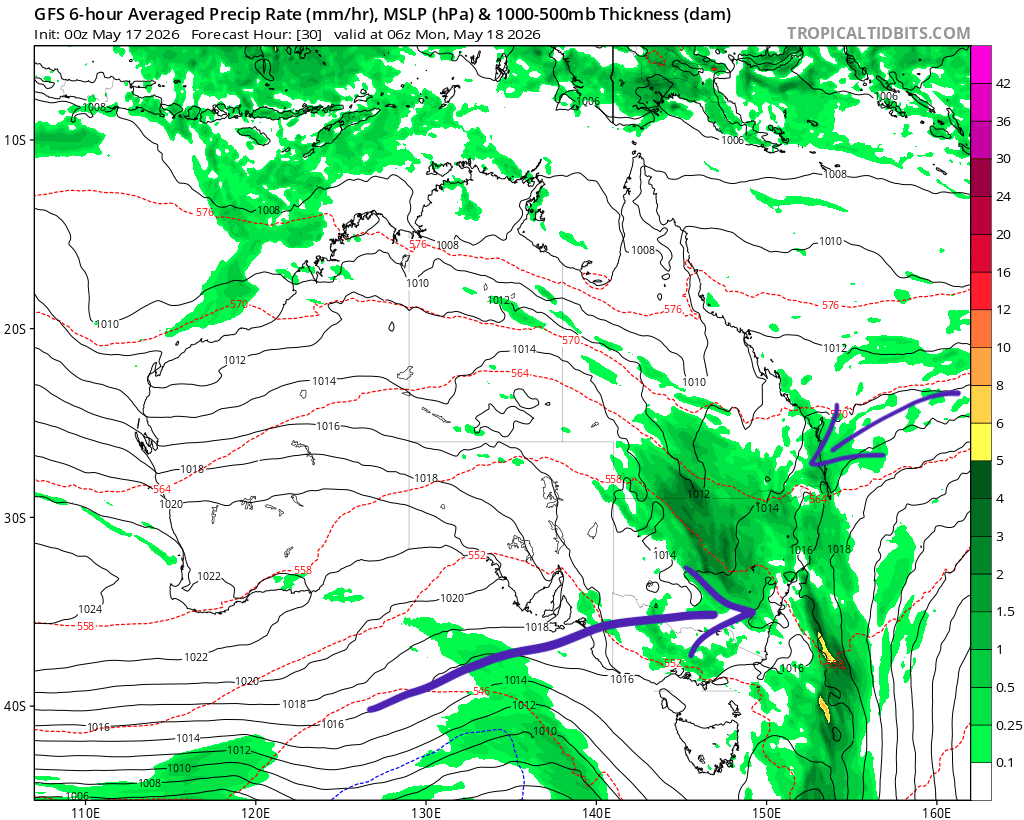
No huge totals looking likely but hopefully we all get to see some wet weather. It’s going to be showery however so as always some will see more while others see much less. You can see the showers moving up the coast through tomorrow through Tuesday, before the chance of clearing storms to follow (and it is all swept back out to sea):
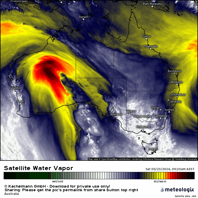
Looking a little further ahead and we’ve got an active monsoon developing across the north of Australia. There are rare times when the trough moves far enough south (or a tropical disturbance moves towards us) to give us some good rain. At this stage that is not looking likely – however all that hot air rising across the tropics is a classic heat-bringer for inland Australia. Sure enough we’ll likely see some higher than average temps develop across the inland over the next couple of weeks:
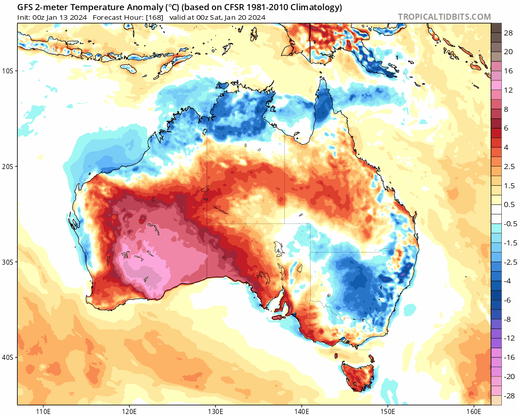
As the average for this time of year is already pretty high we’ll then need to keep an eye on any systems that might bring that hot air towards the east coast. If that happens we could well see some very hot days…but still a little way off. I’ll keep an eye on the potential impacts of the monsoon trough across our region and post again if any significant heat / rain looks likely. In the meantime enjoy the showers when they finally arrive!
Thanks to Meteologix and Tropical Tidbits for the images, and to the local businesses below for sponsoring this site and and Bellingen Weather station.