We’ve got another beautiful day today, but a change moving up the coast is going to bring some more unsettled weather across our region…but slowing it down will be a transient low that looks likely to develop offshore on the trough-line – that will tend to send winds a little more offshore across our region, before the low moves onshore to our south and winds swing easterly once again. One thing that will be in the mix over the coming week alongside some onshore showers – storms, mainly over the hills but possible anywhere.
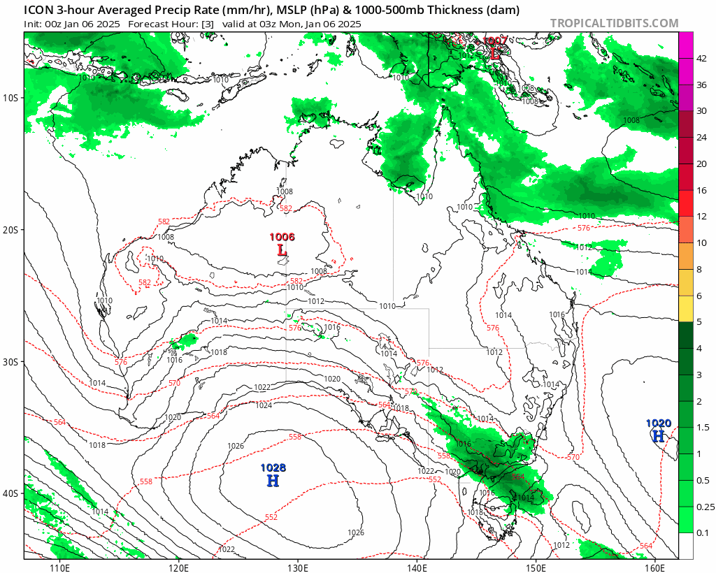
First off – you can see from the latest model runs the tough moving north across southern NSW, with the low developing and slowing it down in the short term (but not before it offers up some decent storms tomorrow, more likely on the hills):
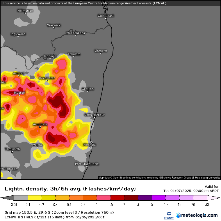
…and here’s the lightning forecast for tomorrow afternoon:
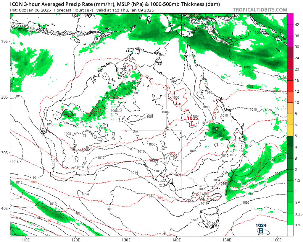
Once that low dissipates we’ll see the winds swing onshore and bring more in the way of onshore showers (alongside afternoon storms) across our region:
We could see some decent totals over the next couple of weeks – perhaps not surprising with onshore winds blowing over some very warm ocean temperatures:
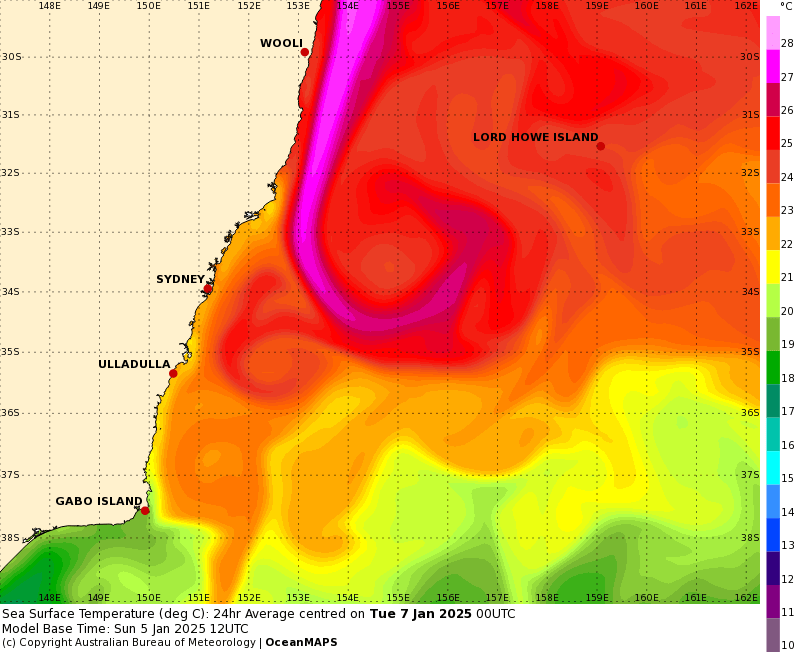
Ocean temperatures sitting around 28C will certainly pump some energy into our local atmosphere – so don’t be too surprised to see some heavy falls in some locations over the coming couple of weeks. Right now it’s not looking like a widespread rain event – more a series of stormier days, which makes it harder to pin down exactly when we’ll see the bigger rains…more worth being aware that it’s looking wetter at times – and with such warm ocean temperatures just offshore the energy is there for some bigger point totals in some locations.
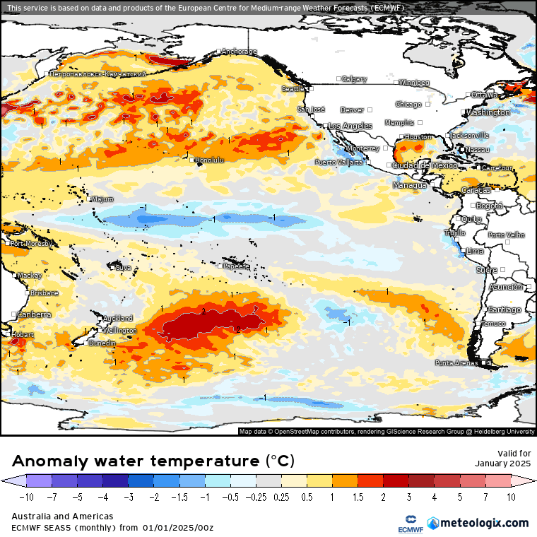
Looking further ahead and the latest ECMWF model run shows the La Nina fading over coming months:
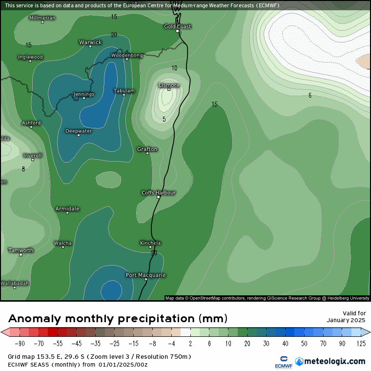
…but before then we’ll be under it’s full influence at the wettest time of year – and models back that up with wetter-than-average conditions forecast over the four months:
Forecasts for such significant anomalies at our wettest time of year raise the flood-flag…no guarantee that we’ll see flooding but some of the ingredients are certainly going to be in place – we’ll just need to wait and see if the triggers for larger falls are also lining up…something we’ll keep an eye on over coming weeks.
Looking further afield and there are hints that we might see some tropical action developing up north in a couple of weeks – something that can either draw wetter weather down south or, just as easily, suck all the activity to our north and give us some hotter weather. More on that over coming weeks…