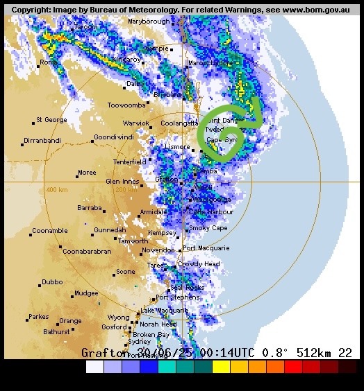
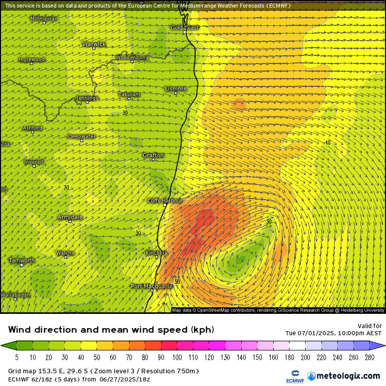
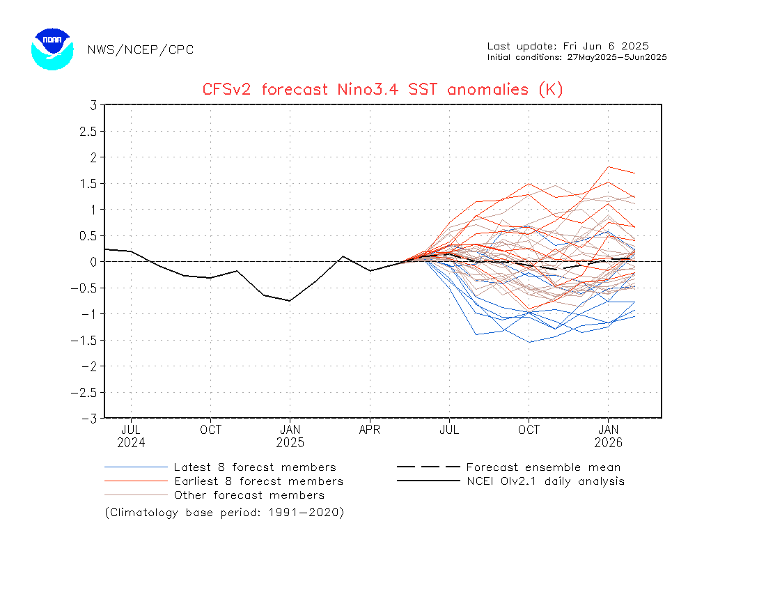
We’ve currently got a thick layer on smoke up high above us from a huge fire burning at emergency warning level in the Pilliga. You can see the smoke across our region in this satellite image from earlier this morning:

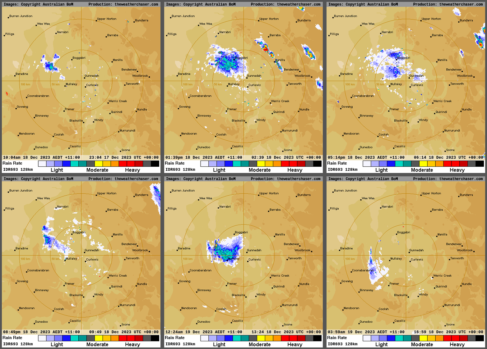
…and you can see the huge plumes of smoke (including yet more pyro cumulonimbus) in the Nymoi radar covering the last 24 hours – including a dangerous storm outflow boundary that swept through and took the fire in another direction:
Looking ahead and we’ve got some stormy and slightly cooler weather moving in – so expect to see showers and storms at times over the coming days, including Christmas Day. They should also see some storms over the Pilliga which should help with fire fighting.
It won’t be raining all the time and there will be some sun at times…but expect to see some wetter weather at times as well, particularly over the hills. Could be some good point totals around if you sit under a stronger storm. Current multi-model outlooks covering the next week looking like this:
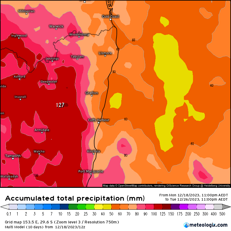
Worth being aware that as soon as we start talking average rainfall across a range of models it tends to blur the totals – I would be expecting higher over the hills and less towards the coast, but we should be all see some showers and storms from time to time.
Talking of good totals – we saw the cyclone we were discussing a week or so back make it ashore near Cairns – bringing some big totals:
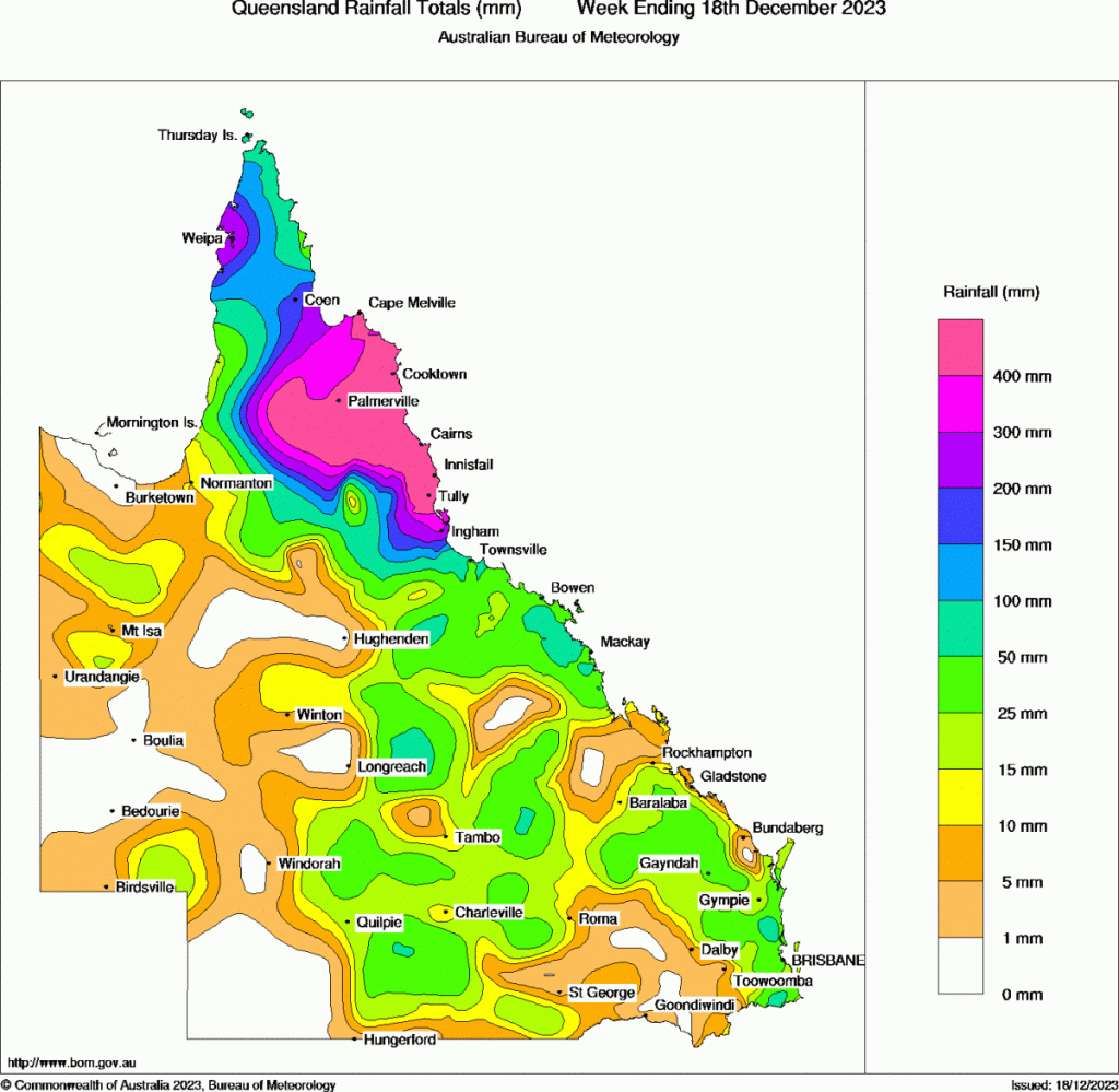
Some areas up there saw 24 hour totals over 500mm, with some locations seeing over 2000mm (2 metres) of rain over the last week. Happy that that one stayed away from our region but thinking of everyone up there.
I’ll post again when more significant weather looks likely across our region. In the meantime take care and wishing you a fantastic Christmas 🙂
Thanks again to our sponsors Kombu Wholefoods and Snapfrozen
Thanks to Meteologix / Weather Chaser / BoM for images
