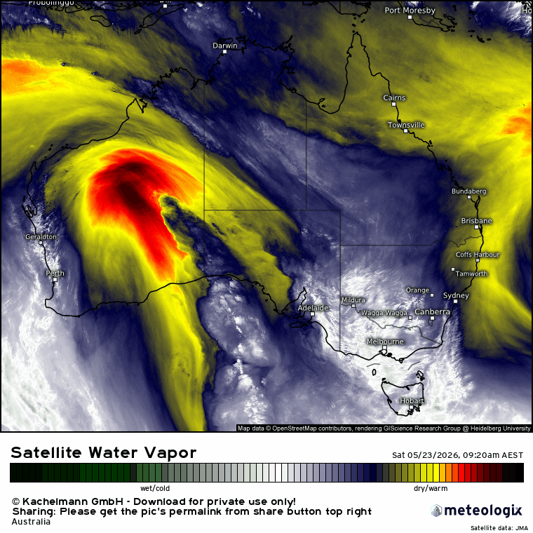
We had a lovely storm move across yesterday evening and a little overnight rain before more showers roll in from the west this afternoon…but we’ve then got a bigger change kicking in.
Steering winds have been from the west for some time now – so despite the showers and storms our overall rain totals have been limited. That will change tomorrow as winds turn onshore, bringing showers with them as they do. You can see this happening in this wind animation covering the next two days:
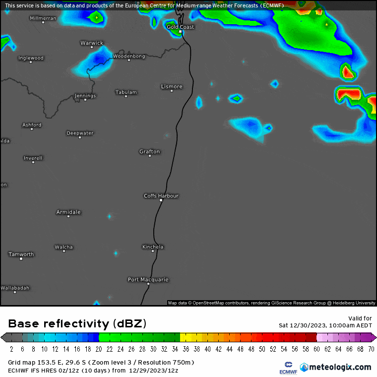
…and you can likewise see the impact on rainfall in this forecast radar animation – first showers and storms from the west, but then showers moving in from the ocean:
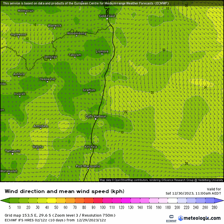
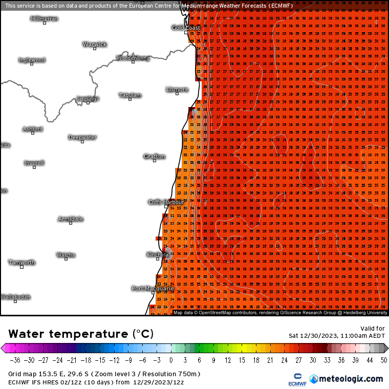
The hills to our west help magnify rain moving in from the east – and we’ve got some warm waters next to us right now – check out the 28c ocean temps just offshore:
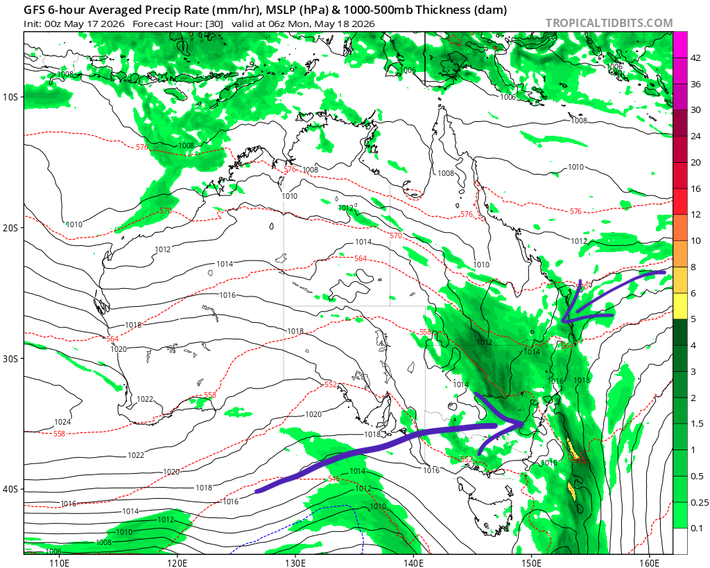
…all of which will combine to bring the chance of some downpours and accumulating totals over the coming days. Here’s the forecast 4 day totals from one model:
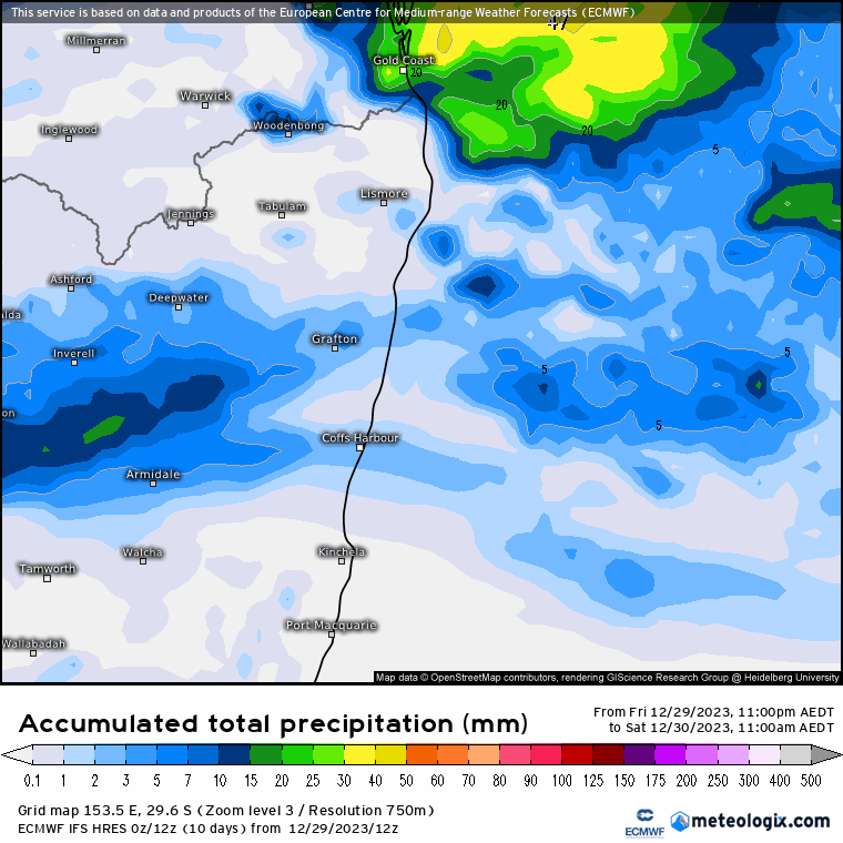
As is always the case with showers it is hit and miss. The ground is also very dry right now and should absorb a lot of the initial downpours (though any heavier showers will still have an impact as there is a limit as to how fast the earth can absorb the water) but if the pattern persists we could see a rise in rivers and creeks.
Thanks to Kombu Wholefoods and Snapfrozen for ongoing support 🙂
Thanks to Meteologix for all the images used today.