A quick post with updated rain forecasts for our region. The BoM high resolution model covers today and tomorrow – and shows some really good totals possible for us but keeps the higher totals very close to the coast and just offshore…it’s a close run thing though – and too close to say that we won’t see higher totals across the valleys…
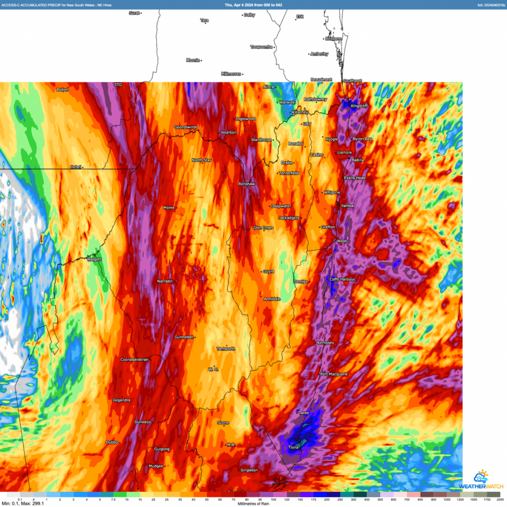
If the upper system was further north it would pull those even higher totals across our region, but for now it looks like the highest falls will come ashore around Sydney / Central Coast. Regardless showers and storms are likely over the coming two days, and some localised areas could see higher totals so worth keeping a good eye on the radar, BoM warnings, River Heights and the local Flood Cameras through today and tomorrow.
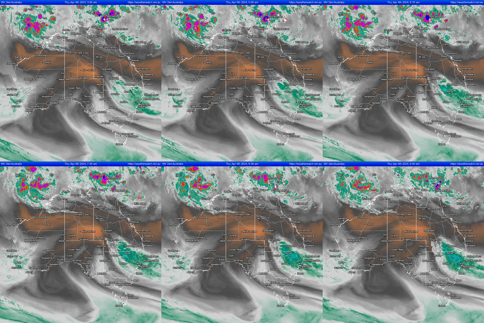
Great to look at the weather vapour animation – you can see the upper system powering north across South Australia, pulling moisture laden winds south ahead of it:
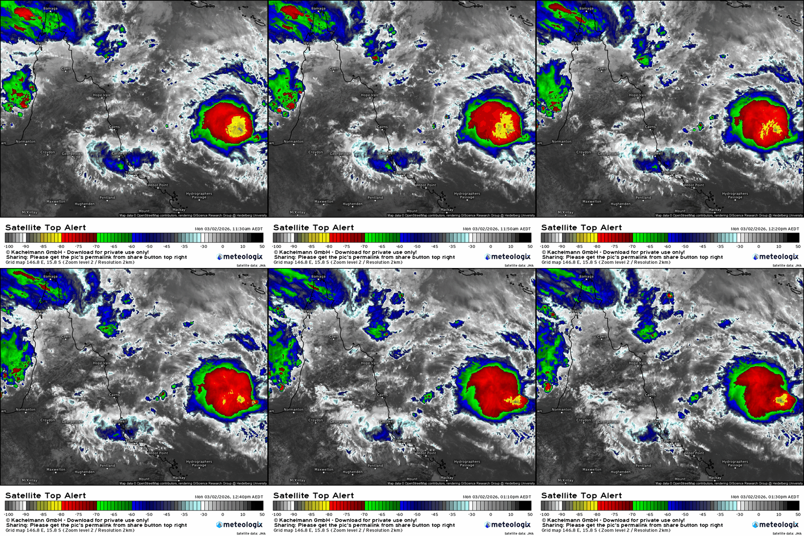
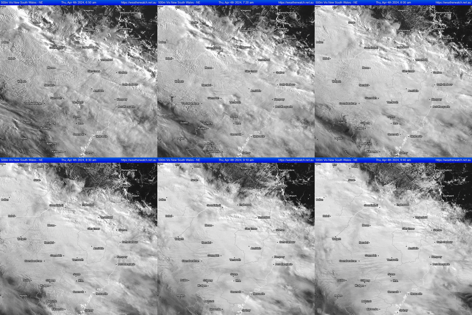
….and looking locally you can see the upper clouds pushing southwest while lower level showers move in from the ocean:
So some interesting weather ahead – expect a range of warnings and likely flooding across NSW between now and the weekend…and whilst it looks like we won’t see the very highest totals here please keep checking as training showers and storms can still bring some quick heavy falls with flooding to follow…
Thanks to WeatherWatch for the images. Animations via Bellingen Weather
Thanks to our hosts and sponsors, Kombu Wholefoods and Snapfrozen :)))

