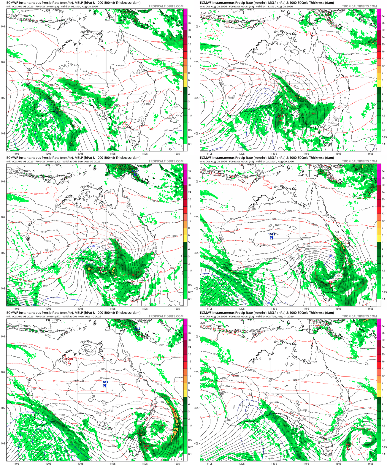
A quick post about an incoming blast of westerly winds up on the hills as a very strong southern low makes it’s way from west to east to our south. You can see the low moving across over the next 72 hours:
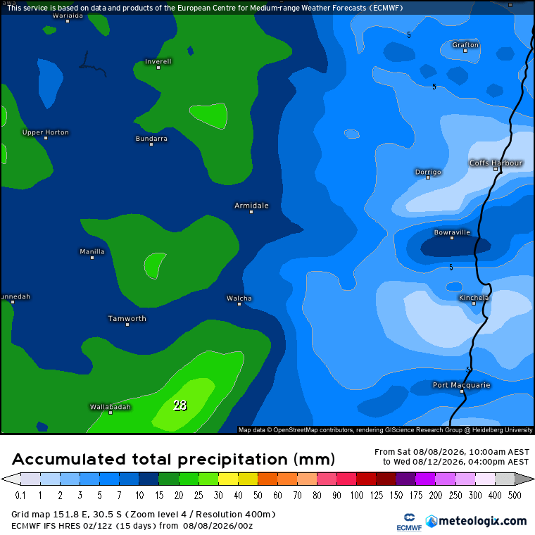
That low is going to bring some decent rain (and snow) to our west and south, with flood watches in place. Most of the rain will die off as the winds descend the Dividing Range – totals looking like this for the next few days:
The low will bring some strong winds up high through Monday…for example here’s the maximum gusts for Sunday afternoon:
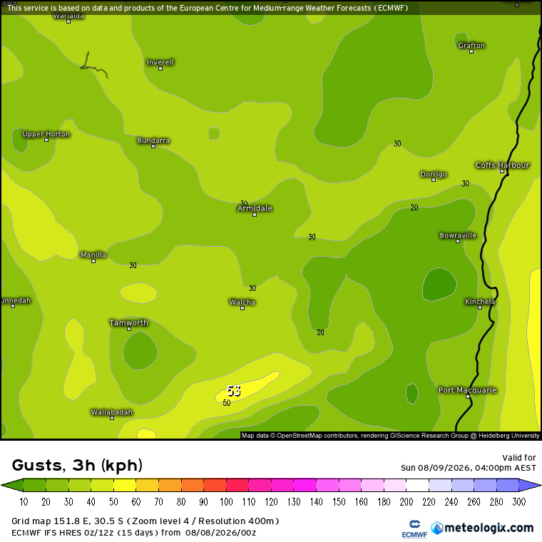
You can see them starting to strengthen to the south west – but come Monday it’ll be howling on the hills:
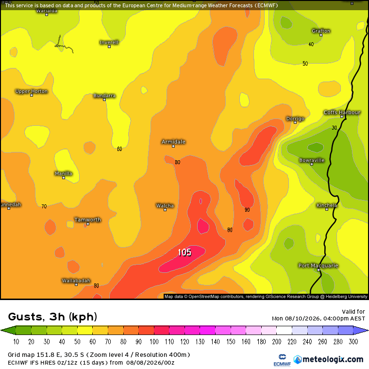
You can see how much the valley sits protected from the blast – but don’t be surprised to see a few gusts mixing down. Meanwhile up on the high country you’ll feel the full effects of the westerly, which will weaken overnight but remain strong at times through mid week.
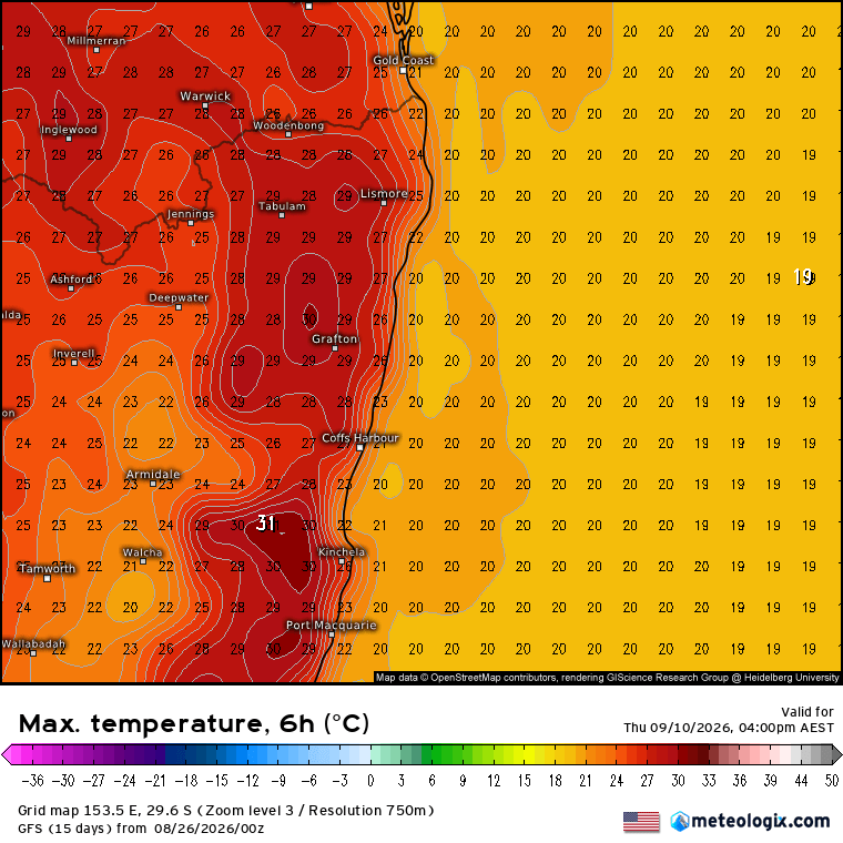
A long way off but it could be all-change as we head into next weekend – it looks like a strong high will replace the strong low and move across to our south. That’ll bring easterly winds across much of the east coast…and that means a likely return of the showers through next weekend:
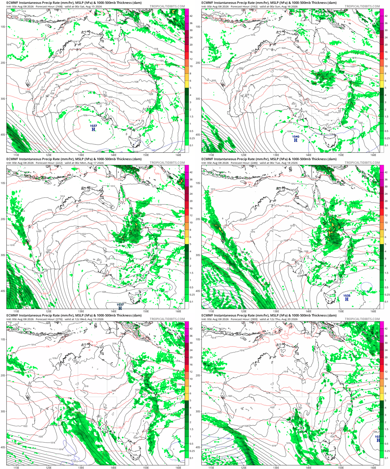
More on that one if significant totals look likely…which isn’t the case right now. With the southern circulation remaining negative over the next couple of weeks don’t be too surprised if we see more westerly blasts to follow.