A quick end-of-day post to flag a potentially stormy spell coming up. We’ve got a strong cold upper low moving in as we move through the weekend:
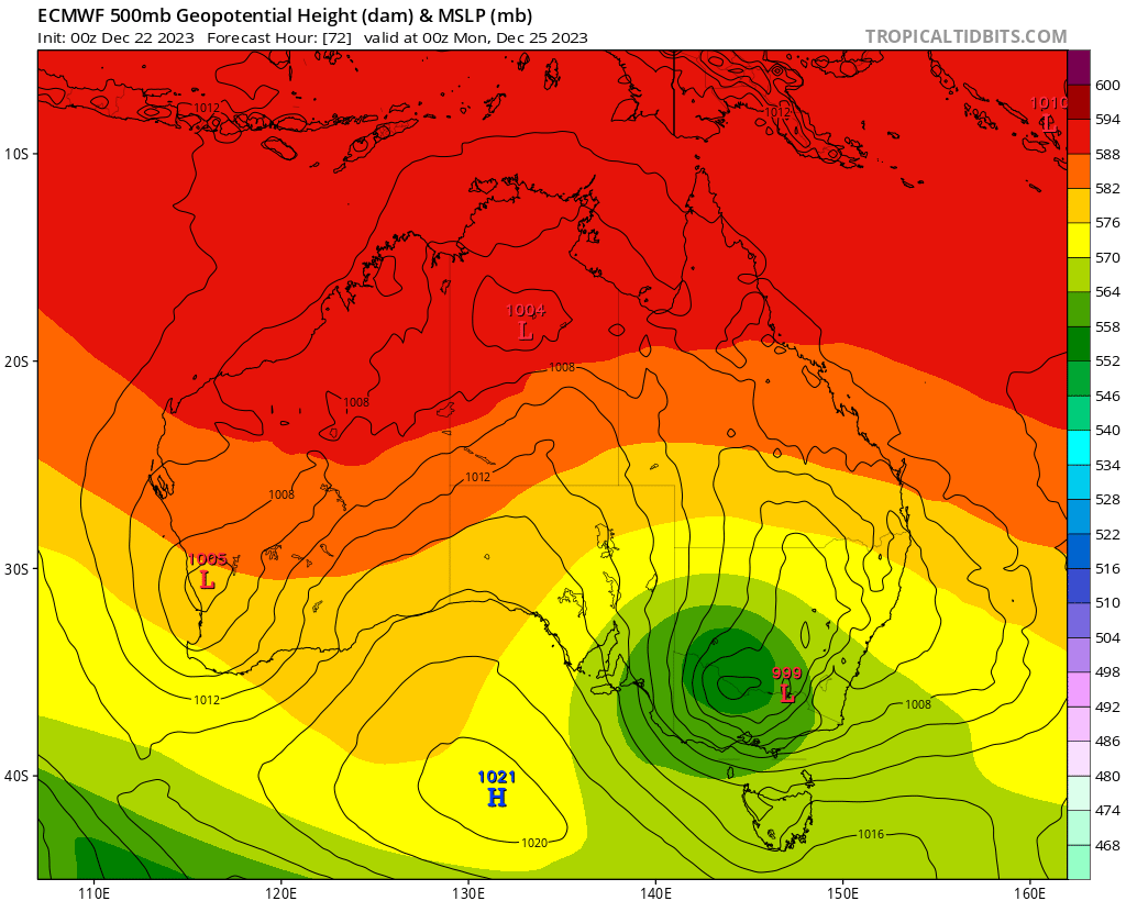
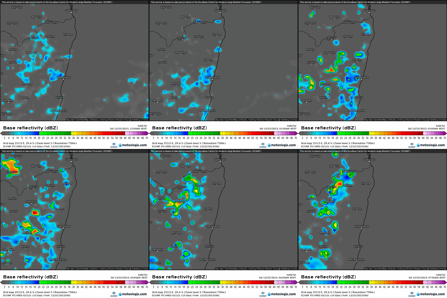
Combine that with peak summer heat and decent humidity and there will be some cracking storms out there! Other areas will likely see the worst but regardless, there is still the potential for us to see a decent storm or two over the next few days. Forecast radar for tomorrow shows some showers and the odd storm forming before the sea breeze front moves them inland:
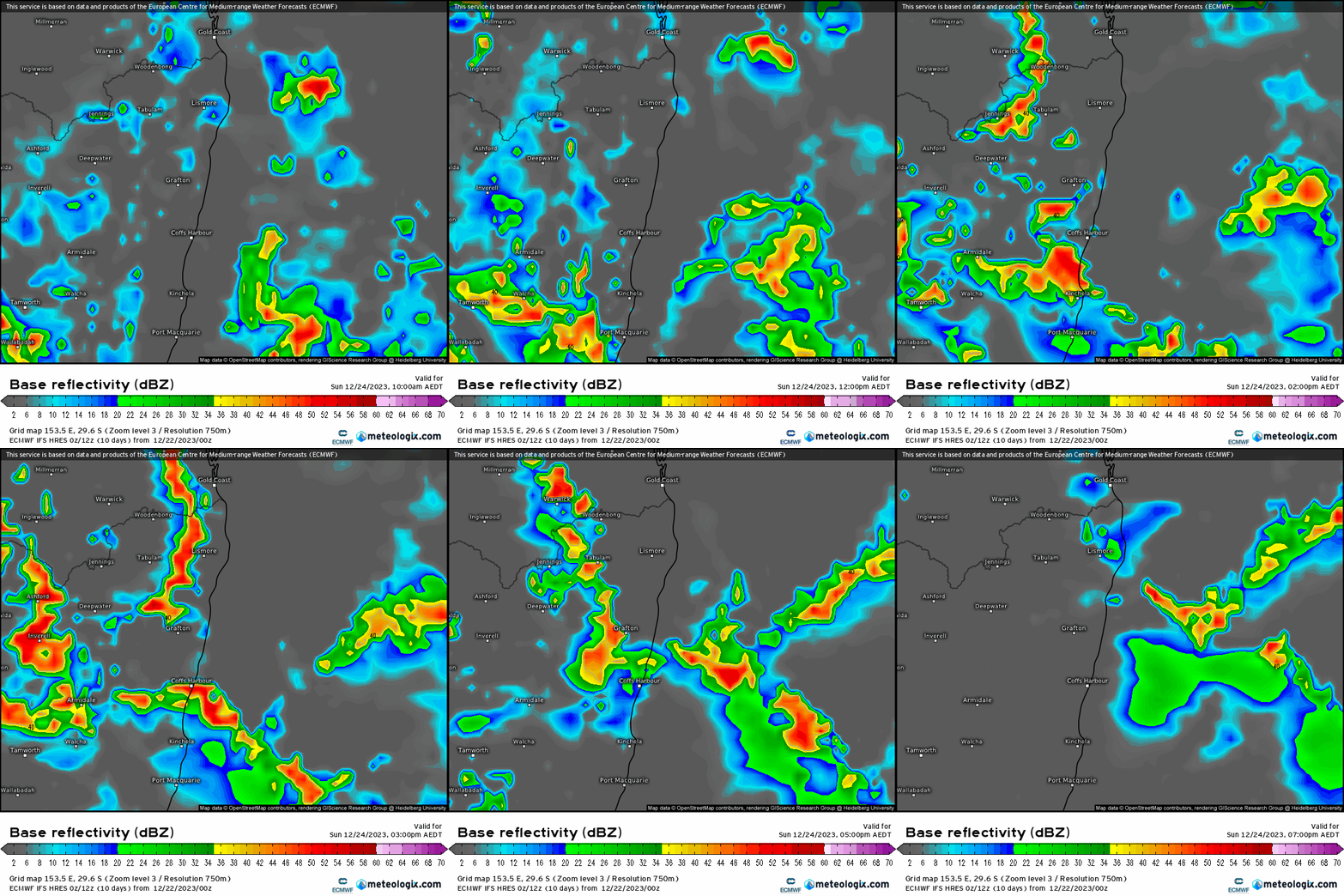
…but by the time we hit Sunday / Christmas Eve we’ll be looking at the potential for some strong storms across NE NSW. As is always the case there is no guarantee we’ll see them…but worth keeping an eye out. Here’s the forecast radar animation:
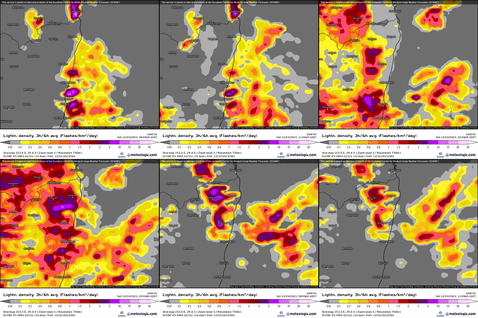
And the forecast lightning for the day shows the potential – with perhaps even the odd storm offshore first thing:
By the time we get to Monday the focus of the action will be further north – but regardless there will still be some scattered storms around the region, though much less likely for us than on Sunday:
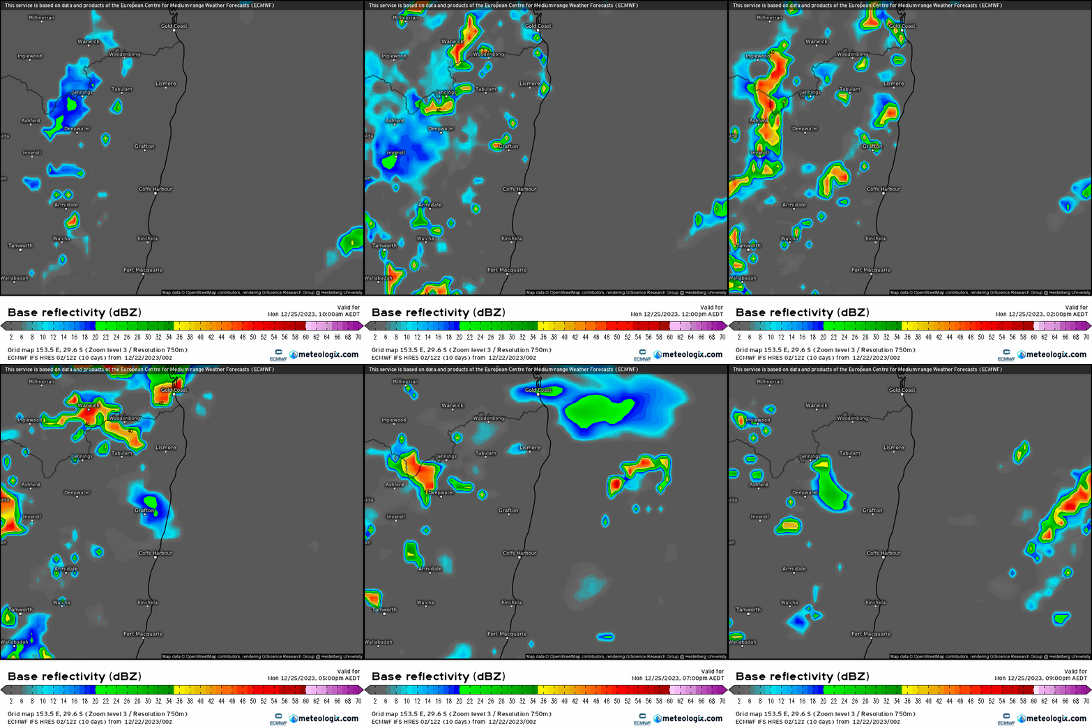
So an interesting spell coming up – time to keep an eye on the sky, particularly on Sunday. Fingers crossed the severe storms miss our region.
Looking further ahead and it looks like heating up late next week…could be a scorcher on Friday…details to come after Christmas.
Thanks as always to Kombu Wholefoods and Snapfrozen for hosting 🙂
Thanks to Meteologix & Tropical Tidbits for the images
