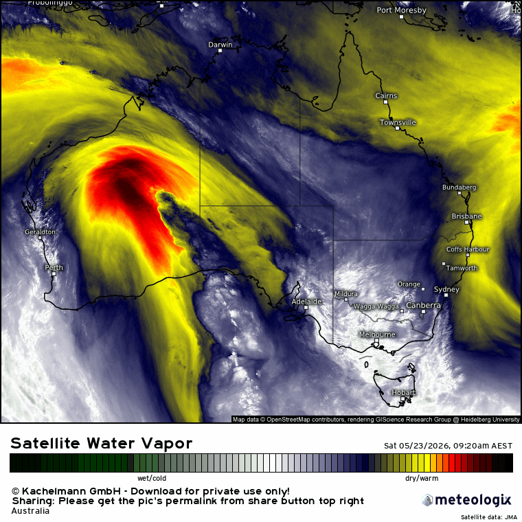
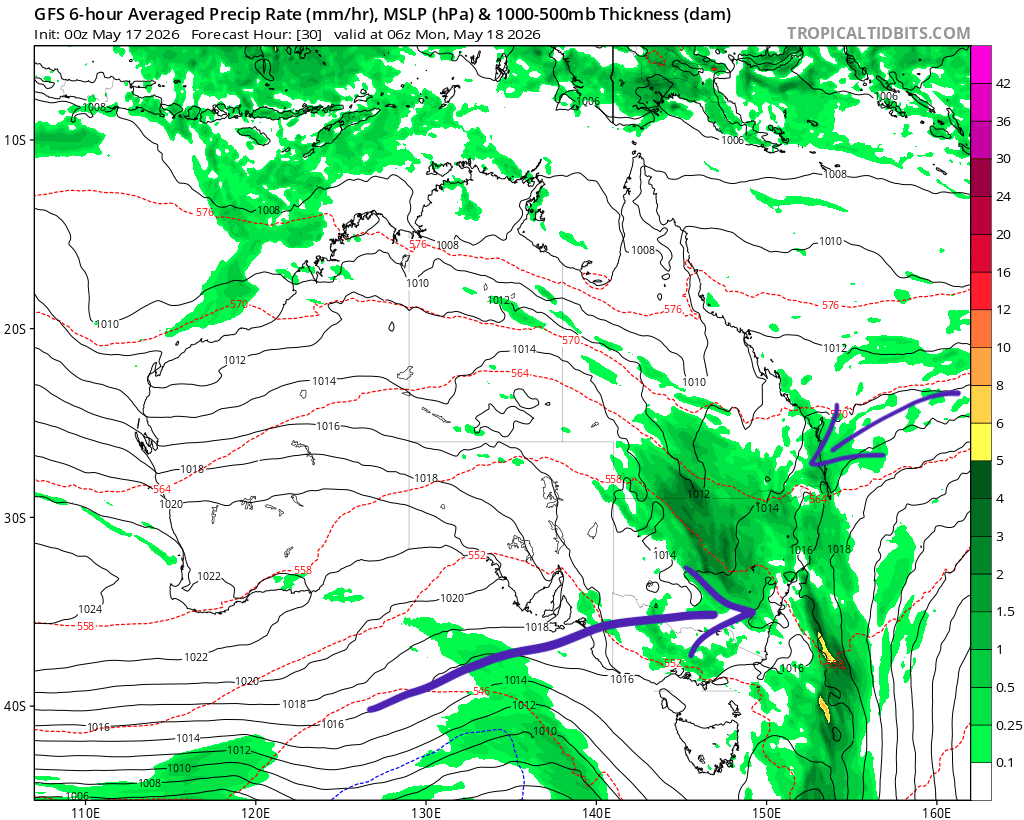
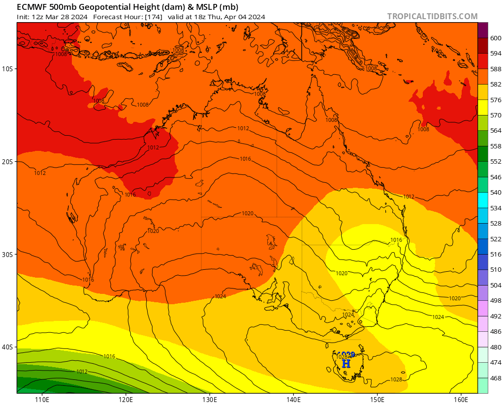
Hitting the Easter weekend with a few showers but also some sunshine. Into next week and a quick post about some interesting weather through the middle of the week. We’ll have a strong upper trough / cut off low moving in from the west, and likely onshore winds off a warm ocean. Every chance we could see an East Coast Low develop – but whether than happens right on the coast / offshore / north of us / south of us is not yet clear. Here’s how the models look for the middle of the week:
The location of the upper trough is key to how much rain we see…and to give you some idea of the spread here’s the lowest forecast totals from the EC model:
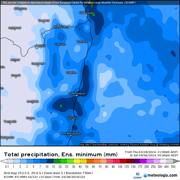
…and here’s the upper possible totals from the *same* model:
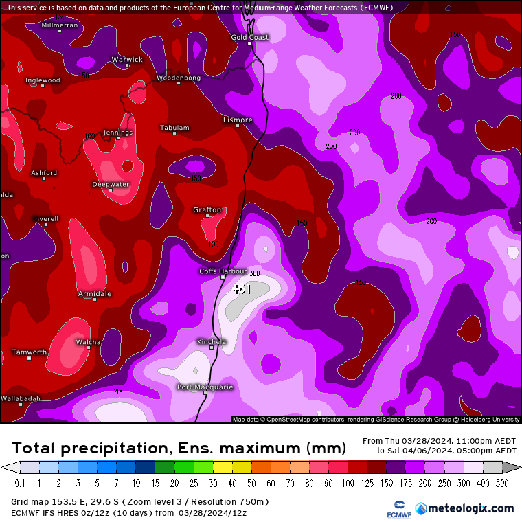
Chances are we’ll see something in the middle. Right now that means checking out the average across all models to get some idea…and here’s what that comes back with:
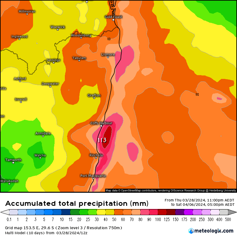
So looks like we could see some wetter weather in the middle of the week, with higher end totals a possibility – but very little also possible…so right now there are no models or forecasters who can give a clear indication of how much we’ll see. I’ll update towards the end of this long weekend with the latest model guidance. In the meantime wishing you a great weekend, and hope you get some down time.
Images: Tropical Tidbits / Meteologix
Thanks to Kombu and Snapfrozen for ongoing support