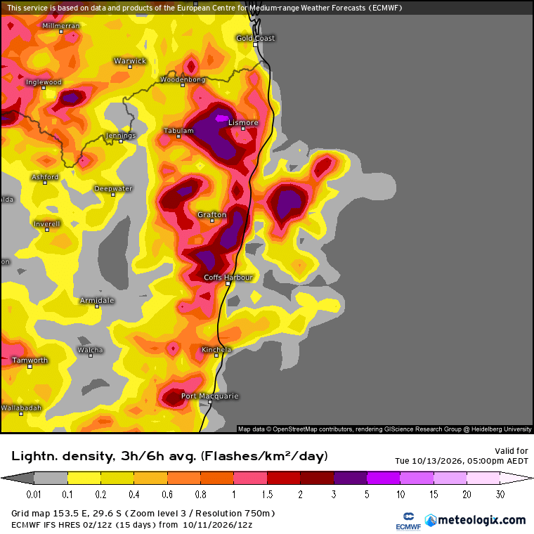
Some good news – in the post yesterday I mentioned that when there is a big difference between models the most likely outcome is somewhere in the middle…and right now that is how the rain this week looks to be heading. Original (and much shared) forecasts from some of the models looked a little like this:
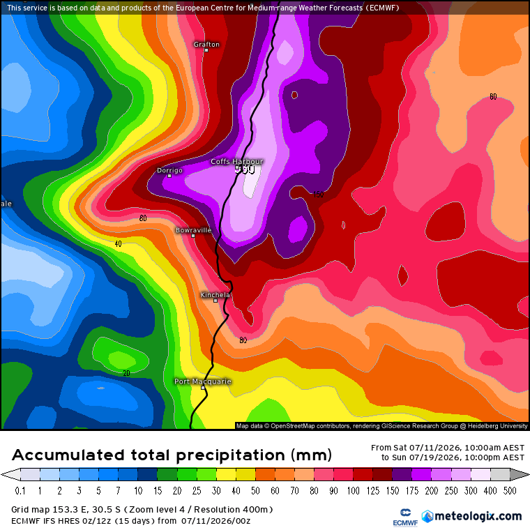
…but there was a wide range of outcomes from different models, flagging that things were still, literally, up in the air. Right now the same model is looking a lot like the other models, with currently forecast rain totals looking like this:
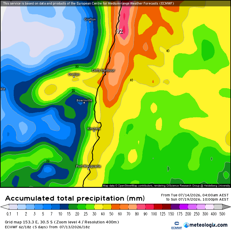
Across the models we still show some variation, but right now it looks like we could see a few days of showers clattering in, with some reasonable totals likely for some (particularly on the hills and coast) but unlikely to see a widespread flood from this event. We could see some creek rises in areas that see a train of showers moving across, but nothing significant looking likely. Expect to see showers start to move in later tomorrow, and then persist into the weekend. Drying up once again as we head into next week with some sunshine returning 🙂