Upper Cold Pool – Showers Incoming?

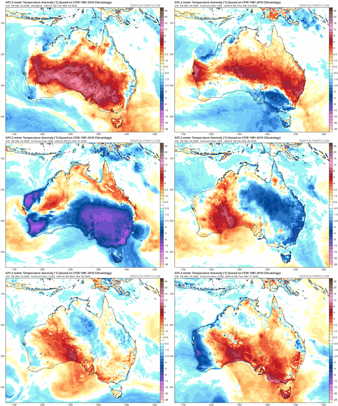
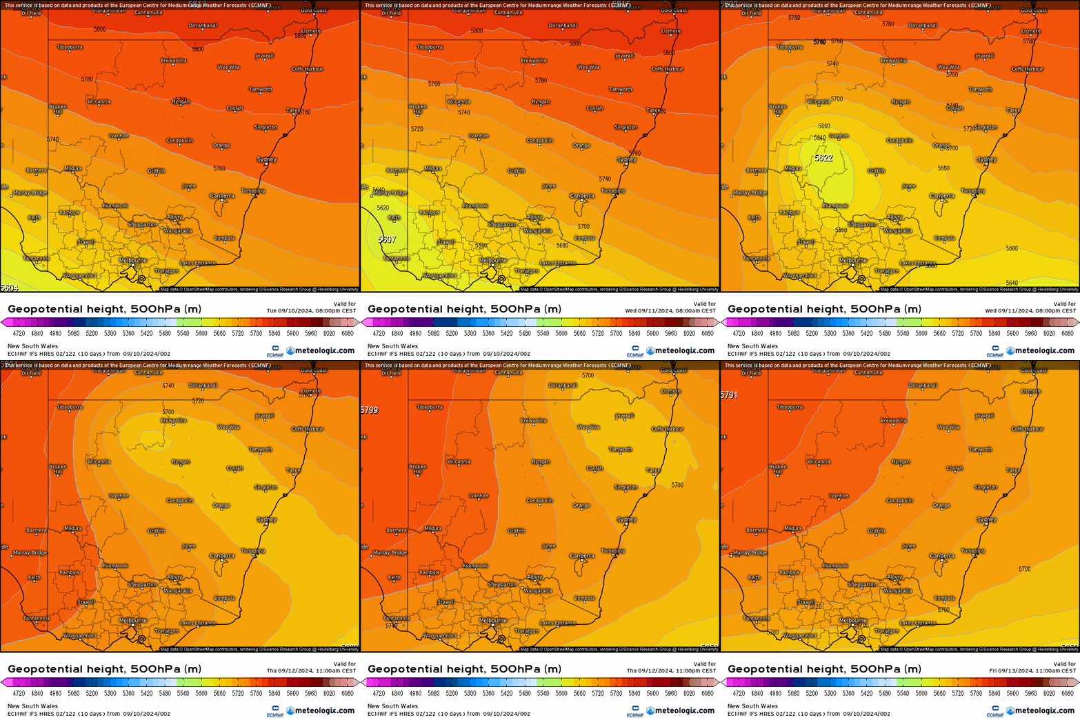
A quick post to flag the potential for some showers and possible storms later this week as warm surface sunshine and heating meets a pool of cold air moving NE across NSW. You can see the cold pool getting flung up across NSW through the second half of this week:
…and whilst we won’t see huge totals the hills in particular could grab some decent totals as showers and the odd storm move through alongside the cold upper air:
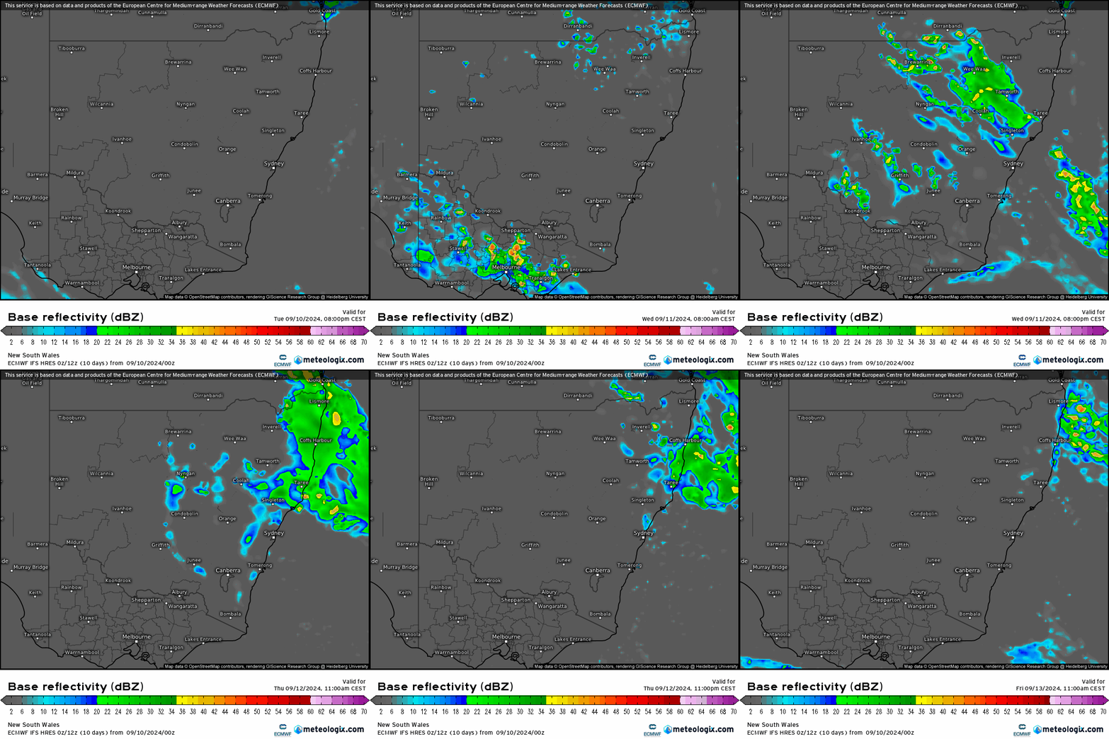
As is always the case with showers and storms, not everyone will see decent totals (and in fact some models are indicating very little in the way of rain), but always the chance of some reasonable totals if you catch a stream of showers. We’ll see the showers clear as quickly as they move in, hopefully in time for some weekend sunshine!

Images thanks to Meteologix

Signup & Socials


Want to keep on top of severe weather and know every time a new post comes out?

Sign up below and you'll get an email as soon as a local weather article is posted

We're a local organisation and don’t spam! You'll only receive emails when a new post comes out. Your details will not be shared with anyone else.

Facebook
Twitter
Pinterest
LinkedIn

Related Posts

Ocean Temps / Stormy Days

The humidity is rolling back in as we head towards summer and we’re well into our storm season. Kicking off with the humidity – and

Stormy Saturday Pt3

OK, we’ll also likely see showers and storms Friday and possibly Sunday, but too good to miss the chance for three stormy Saturday posts in

Stormy Saturday (again)

We’ve had a beautiful day today with an inland trough far enough away to leave us with blue sky and not-too-hot temps. Tomorrow however that

Stormy Saturday

We’ve got a few showers popping up right now across our region but nothing much as of yet – we could see some showers and