A quick post to flag the potential for some showers and possible storms later this week as warm surface sunshine and heating meets a pool of cold air moving NE across NSW. You can see the cold pool getting flung up across NSW through the second half of this week:
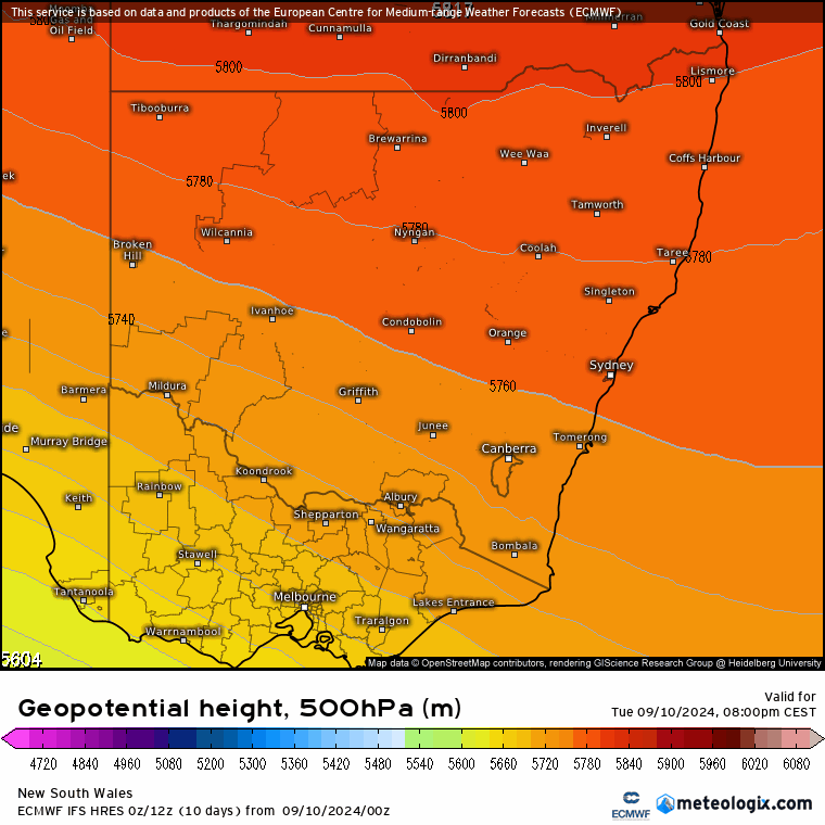
…and whilst we won’t see huge totals the hills in particular could grab some decent totals as showers and the odd storm move through alongside the cold upper air:
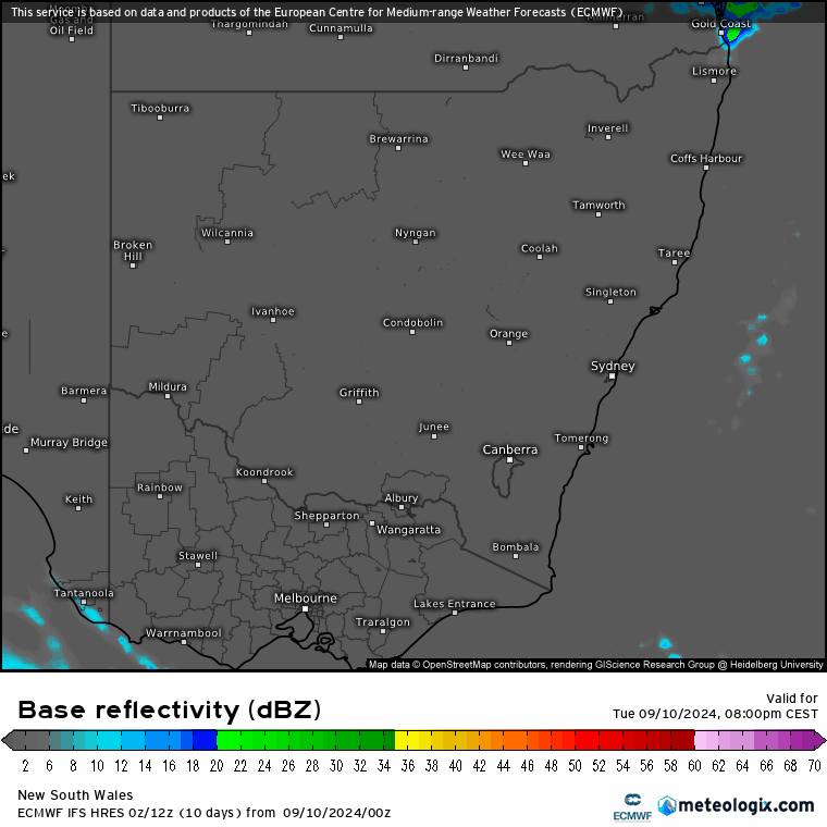
As is always the case with showers and storms, not everyone will see decent totals (and in fact some models are indicating very little in the way of rain), but always the chance of some reasonable totals if you catch a stream of showers. We’ll see the showers clear as quickly as they move in, hopefully in time for some weekend sunshine!
Images thanks to Meteologix