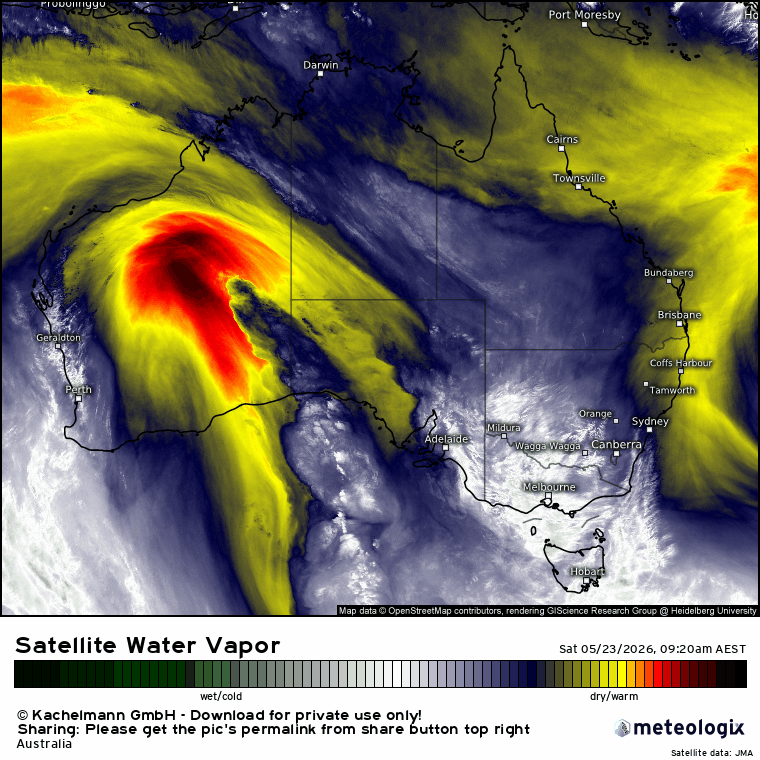
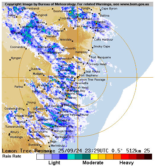
We’ve got that change discussed in the last post moving up the coast right now:
…and we’ll see some decent totals accumulate as it moves through our region. With winds coming predominantly from the south the Dorrigo / Coffs range (including the Promised Land) will likely see the highest totals. Models show a range of totals but when all put together they average out pretty much as per the last post. Latest average forecast 5 day totals look like this:
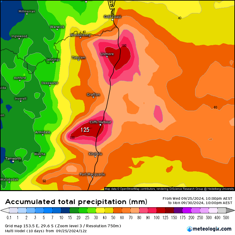
…which will once again put a dent into the bushfire season and could result in some river rises. Worth noting that the BoM high resolution models show some significant totals across the Dorrigo / Coffs range:
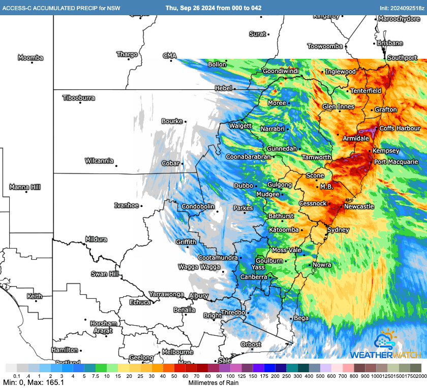
Also worth noting that as a high resolution model it only runs out to the end of tomorrow with the (likely higher) Saturday totals not included in those totals. No flood watch at this time but if one comes out I’ll post below.
In case needed we’ve now got an Emergency Info page on the site with links to a whole heap of useful resources. Once this rain moves through we should see another drier spell move in – you’ll be able to watch everything grow in real time!
Images thanks to MetCentre and Meteologix – thank you!