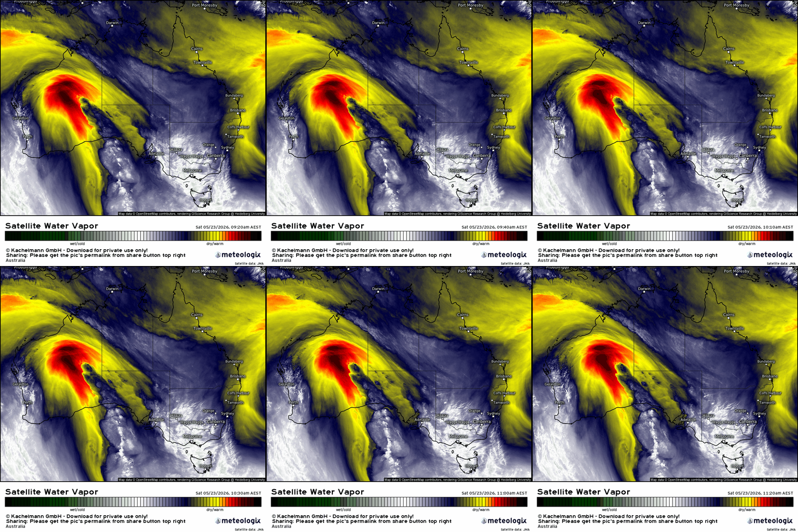
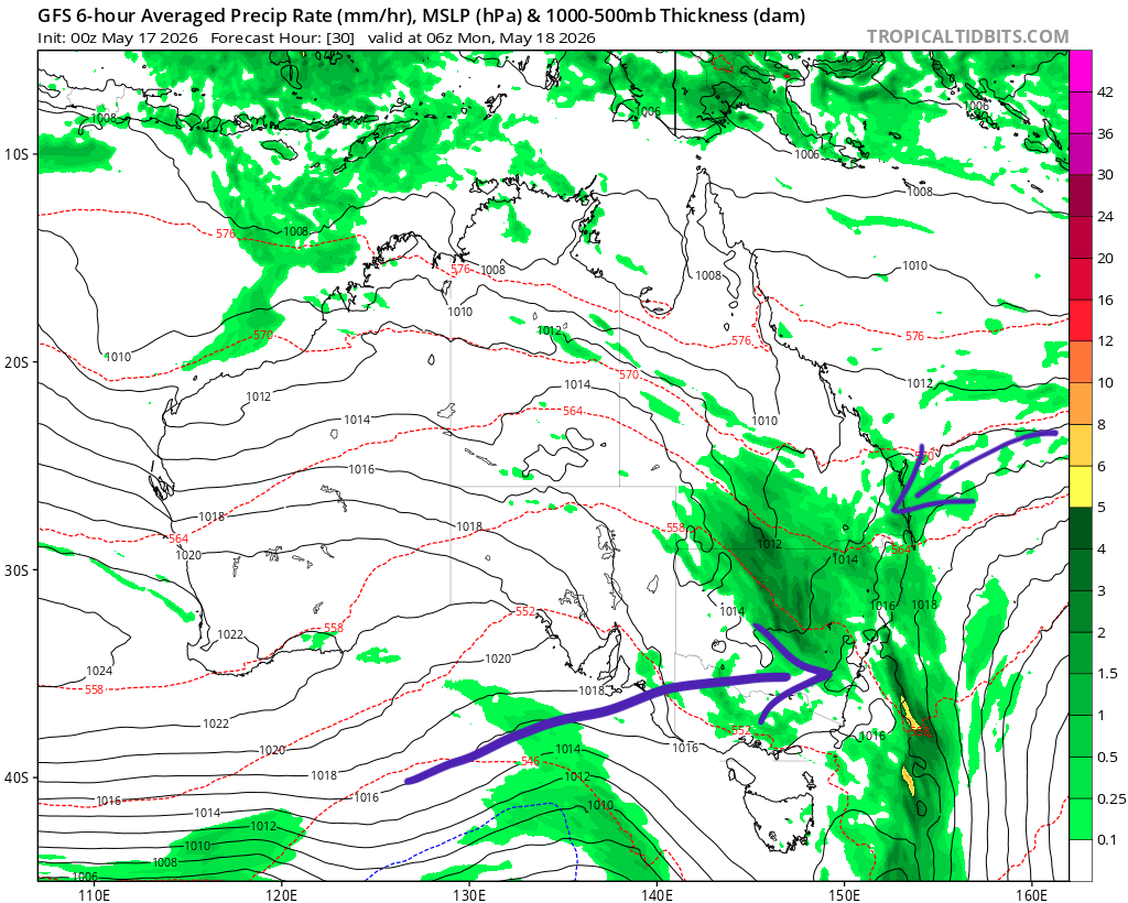
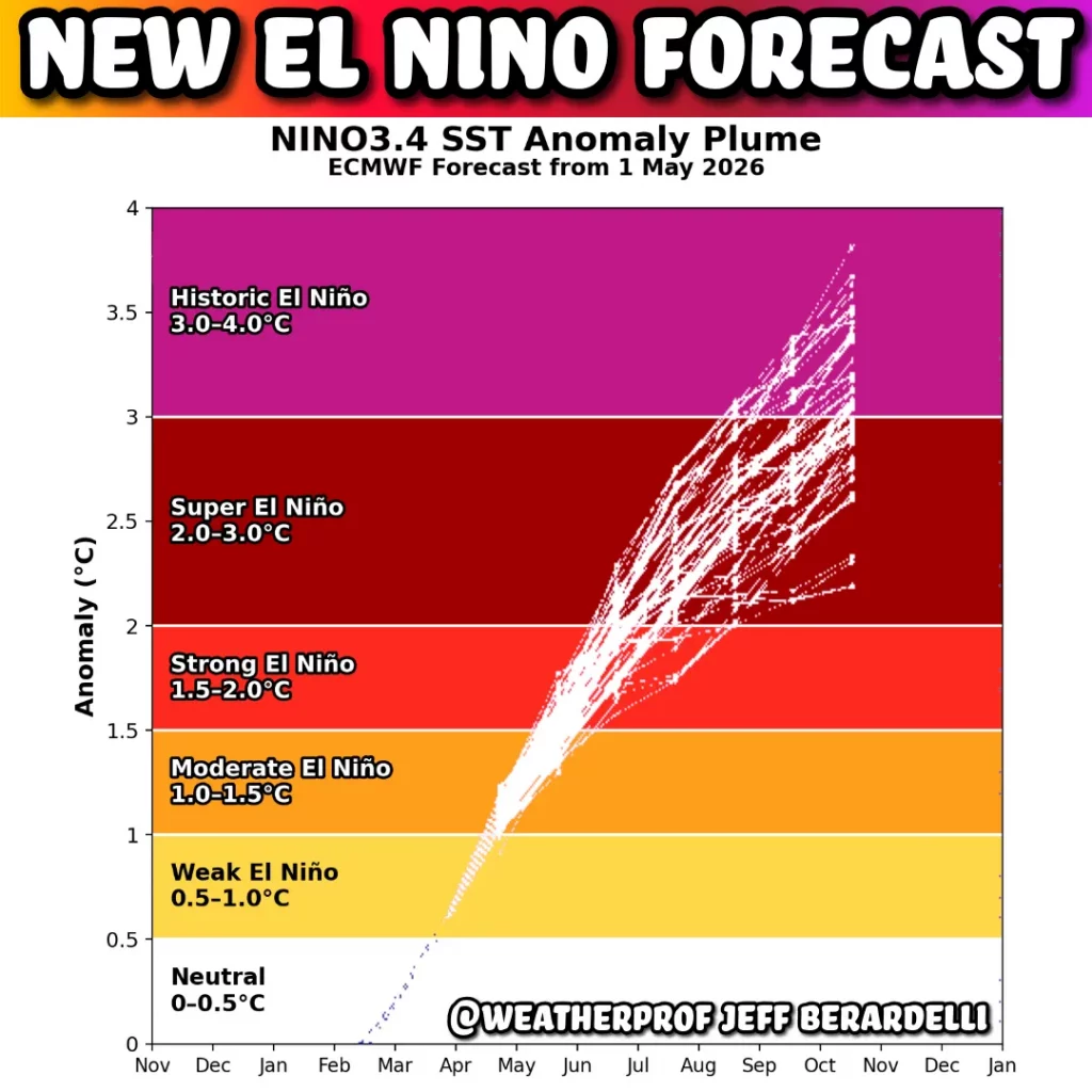
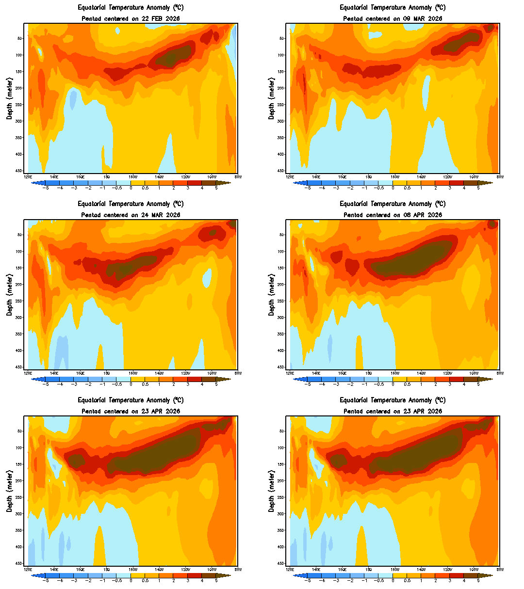
We’ve got some exciting weather incoming up high. Several pools of very cold air are likely to move across SE Aus over the coming two weeks…and as that upper cold air hits the warm wet air sitting just above a warmer than average Tasman Sea we’ll see strong instability develop. That means a likely east […]
Anyone else over the rain? Totals have not yet been too high but a little rain over numerous days can still create a heap of mud – as anyone at the awesome Riversounds event at the showground can attest! The showers, while persistent, haven’t given us huge daily totals – and a change (finally) moving […]
After what seems like a never ending stream of showers we’ve finally got some drier weather moving in as a southern low (temporarily) blasts all the showers back out to sea. We can see this happening on the 10 day animation below – initial drier blast moving in, then a drier spell for the coast, […]
After a week of showers…we’ve got more to come. The 15 day animation shows showers rolling onshore from time to time until the weekend, when a southern ocean storm will push everything offshore for a time…before a chance we’ll see more showers moving back in: You can actually see the potential for 2 southern ocean […]
First off we’ve had a dry spell recently – enough to bring fires across much of NE NSW: Most of the fire activity has been away from our valleys – as is usually the case – but even we’ve seen a fire pop up in Darkwood a couple of days back: This is *not* usual […]
We’ve had a fairlyu dry couple of weeks – dry enough for local RFS brigades to have callouts to escaped burns: It’s actually looking fairly dry for the next couple of weeks as well. The current 2 week forecast rain totals from the GFS model flag how little we’re likely to see – just a […]